 Chris English / CC BY-SA 3.0 via Wikimedia Commons
The Story
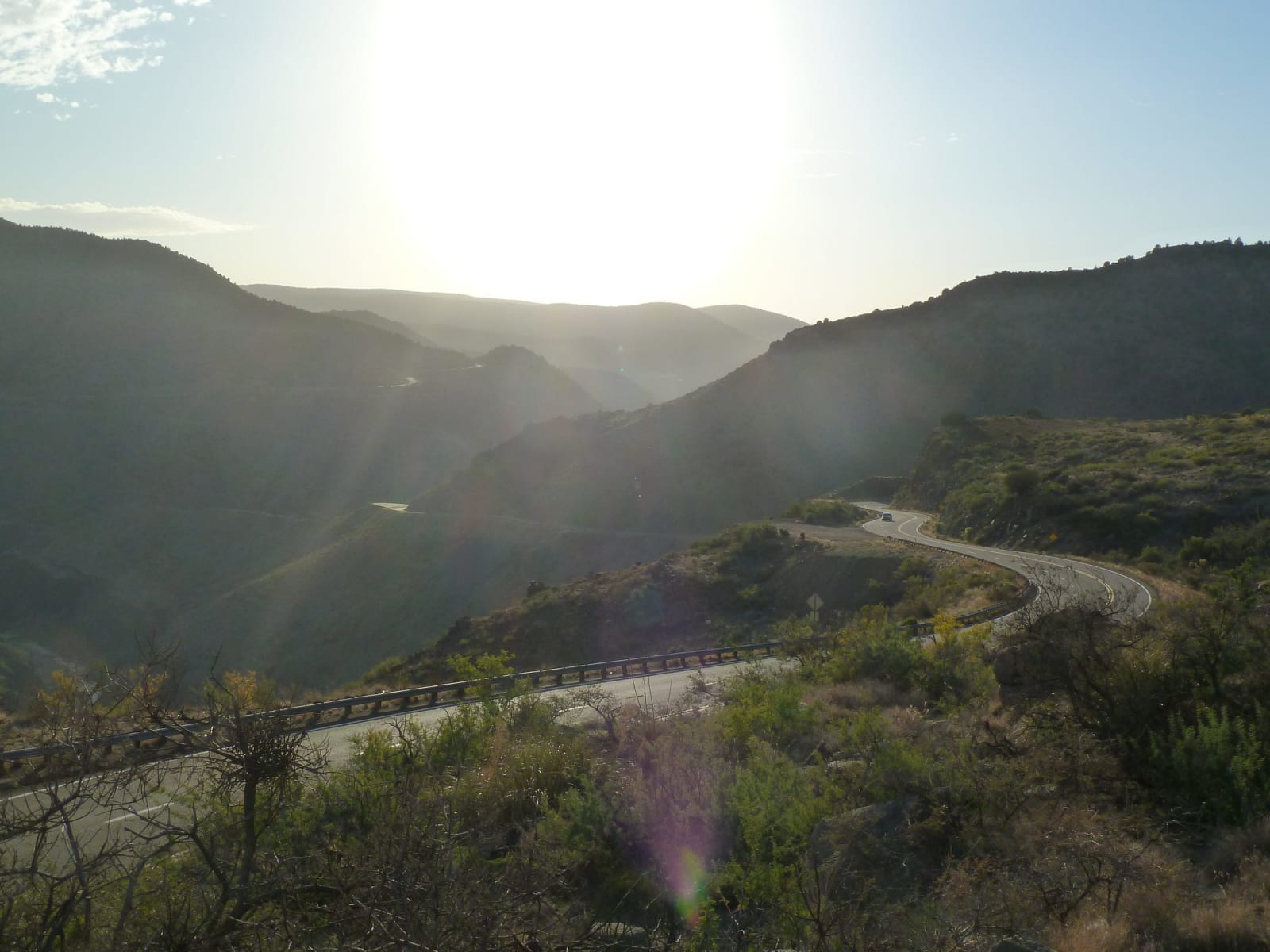
Halfway between Globe and Show Low, US-60 stops climbing and falls off the edge of the world. The road drops in a stack of switchbacks cut into the north wall, crosses the river on a pair of bridges, and hauls itself back up the far side — some two thousand feet down and two thousand back up, through a banded gorge that Arizonans call the mini Grand Canyon and mean it. This stretch of highway opened in 1938; before that, the only way across was a rough ford at the bottom.
The river is a boundary as much as a watercourse. The Salt, joined here by the Black, divides the Fort Apache Indian Reservation to the north — home of the White Mountain Apache — from the San Carlos Apache Reservation to the south. Both peoples still hold the canyon; you need a tribal recreation permit to leave the pavement, hike to the water, or run the river. The name is theirs in translation: Apaches gathered salt from deposits along these banks for generations, and the mineral still crusts white on the rock after a dry spell.
Below the bridges the gorge opens into the Salt River Canyon Wilderness, fifty-odd miles of Class III and IV water that boaters run by permit each spring when snowmelt fills it. That snow comes off the peaks upstream — the White Mountains, the headwaters gathering on the flanks of Mount Baldy — and the river carries the cold of that elevation all the way down into desert. Most travelers see only the rim overlook and the interpretive pullout, which is enough to read the shape of the place: a couple thousand feet of exposed sandstone, limestone, and older rock, a green thread at the bottom, and hawks working the thermals between the walls. Use the pull-outs — the temptation to watch the canyon instead of the road is exactly what they are there for.
Visitor Info
On the Map
A story featuring this place
Go deeper into the history and character of this stop
Nearby
The closest stops worth working into your route
Historical markers nearby
Roadside plaques and monuments within a short detour