The Mogollon Rim & the White Mountains
The great forested escarpment and the Apache high country — the long wall of the Mogollon Rim, the alpine White Mountains, the plunge of Salt River Canyon, and the Coronado Trail, on the homelands of the Western Apache.
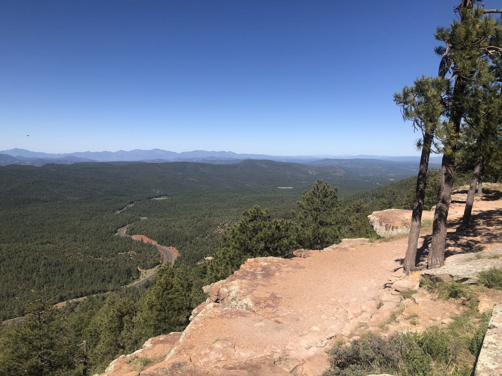
Halfway up Arizona the ground simply ends and starts again a thousand feet higher. The Mogollon Rim is the abrupt southern edge of the Colorado Plateau, a forested wall running two hundred miles across the state, and above it lies the high country most visitors never reach — ponderosa and aspen, trout streams, the alpine White Mountains where Arizona keeps its coldest winters and its summer refuge from the desert. Mount Baldy, the range's sacred summit, belongs to the White Mountain Apache, who run the Sunrise ski area on their own land at Fort Apache.
This is Apache country — the Ndee, the people — and its history is among the hardest in the state. In 1872 the government drew the San Carlos reservation south of the Salt River and ran it as a holding pen, forcing Chiricahua, Yavapai, and band after band of Western Apache onto ground so bad with heat and disease it earned the name Hell's Forty Acres — part of a deliberate strategy, General Crook's, of penning rival peoples together. The Apache Wars ran out of these mountains, and the fight over them isn't finished: at Oak Flat, above the old copper town of Superior, the San Carlos Apache are still fighting a foreign mining company for a stand of oak and petroglyph ground they hold sacred.
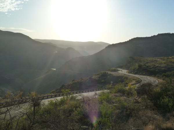
The roads here are the reward for the climb. US-60 drops off the Rim into the Salt River Canyon in a stack of switchbacks — the little Grand Canyon, the gorge that separates the White Mountain and San Carlos Apache lands — and hauls back out the far wall. Farther east, the Coronado Trail, US-191, corkscrews a hundred lonely miles from Springerville down to the Clifton copper pits, the least-driven paved road in the state, named for the 1540 expedition that came through hunting cities of gold and left empty-handed. The desert gets the visitors. The high country gets the ones who keep coming back.
What to See in The Mogollon Rim & the White Mountains
6 places across the region, grouped by what they are.
Natural Areas
Historic Sites

Towns & Gateways
Stories from The Mogollon Rim & the White Mountains
The Mogollon Rim & the White Mountains rewards the unhurried. Pick a base, fan out, and let the country between the headline stops surprise you.
← Explore more of Open Road Guide