 Nationalparks / CC BY-SA 2.5 via Wikimedia Commons
The Story
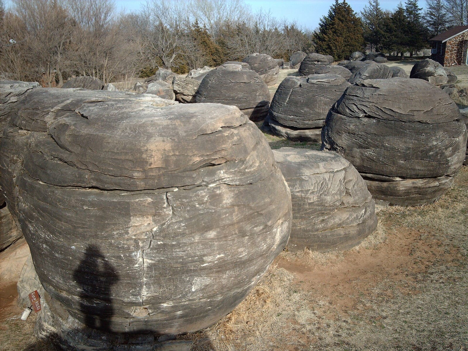
In a strip of prairie about 500 meters long and 40 wide on the hills above the Solomon River lie some two hundred round boulders in three clusters, most of them ten to twenty feet across. They are concretions: balls of sandstone cemented hard by calcite while the softer rock around them stayed loose. The sand came down a river channel onto a low coastal plain at the edge of the sea that covered western Kansas about a hundred million years ago, and it became part of the Dakota Formation.
For a long time nobody agreed on what they were. People took them for glacial boulders, for corals, for masses of limestone, or for ordinary weathered sandstone, until the geologist Shaffer mapped them and recognized them as concretions. Later work on the carbon and oxygen in the cement showed that after the sand was deeply buried, calcium moved through it and calcite crystallized outward, swallowing smaller concretions as the big ones grew. Erosion then stripped the uncemented sand away and left the spheres standing. Look closely and you can see the slanting lines of the original river currents, called cross-bedding, carried right through the stone, along with banded rust stains and small knobs where pyrite has weathered to goethite.
A local nonprofit owns the park and keeps a small visitor center and picnic tables, and charges a small admission to pay for upkeep. It is a National Natural Landmark, about three and a half miles south of Minneapolis and half a mile west of K-106 on Ivy Road.
Visitor Info
On the Map
Nearby
The closest stops worth working into your route
Historical markers nearby
Roadside plaques and monuments within a short detour