Home / Kansas / Kansas City & the Northeast / Quindaro Townsite
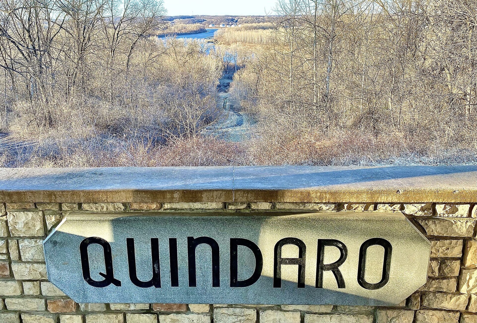
A stone wall lettered Quindaro at the overlook, above a frosted wooded ravine running down toward the Missouri River.Smuckola / CC BY-SA 4.0 via Wikimedia Commons
🏛️Historical

Quindaro Townsite

Part ofKansas City & the Northeast

The wooded ruins of a free-state river port built on a Wyandot woman's land in 1857, a crossing for people escaping slavery in Missouri and later the home of Western University.

⏱
Duration
Half an hour.
📅
Best Season
Year-round.

The Story

In 1856 a town company of Wyandot leaders and New England Emigrant Aid Company men set out to build a free-state landing on the Missouri, a rival to the proslavery ports upriver and down. They bought the land allotment of Nancy Quindaro Brown Guthrie, a Wyandot woman married to the company's vice president, Abelard Guthrie, and named the town for her. Building began in January 1857 at a rock ledge, and within a year the town had about 100 buildings, many of stone.

With Missouri across the river, Quindaro became a crossing for people escaping slavery. Clarina Nichols, an associate editor of the town's antislavery paper, later wrote of an October evening in 1861 when a neighbor warned her that fourteen slave hunters were camped nearby, and she lowered a woman named Caroline into a cistern for the night. The town, about 600 people at its peak, went bust before the war. After the war freed people settled on the bluff, where a school for the children of former slaves, begun in 1862, grew into Western University, often described as the first Black school west of the Mississippi. It closed in 1943.

In the late 1980s a proposed landfill forced an archaeological survey that found a cistern, three wells and the foundations of 22 buildings, and public outcry stopped the dump. Congress named the Quindaro Townsite National Commemorative Site in 2019. An overlook on North 27th Street looks down on the ruins, and the marble John Brown statue from the Western University years stands at 27th and Sewell Avenue.

Visitor Info

⏱
Time Needed
Half an hour.
📅
Best Season
Year-round.
🛣️
Highway
I-635

On the Map

Nearby

The closest stops worth working into your route

historical8.4 mi away
Shawnee Indian Mission State Historic Site
Three brick buildings in Fairway from the manual labor school the Methodist church ran for Shawnee and other Native children from 1839, which the Shawnee Tribe now calls by its plain name, a boarding school.
historical34 mi away
Watkins Museum of History
Douglas County's free museum in J. B. Watkins's 1888 bank and mortgage building on Massachusetts Street, a red-brick fortune built on Kansas farm loans and given to the city by his widow.
cultural34 mi away
Haskell Cultural Center and Museum
Haskell Indian Nations University's own museum in Lawrence, built of cypress logs in 2002 to tell the truth about the federal boarding school the university grew out of.
attraction40 mi away
Amelia Earhart Hangar Museum
A hangar at Atchison's airport built around Muriel, a 1935 Lockheed Electra 10-E of the model Earhart vanished in, saved from scrap, restored over three decades and brought to her birthplace in 2016.
historical48 mi away
John Brown Museum State Historic Site
The log cabin of Samuel and Florella Adair at Osawatomie, Oberlin-trained abolitionists whose home was an Underground Railroad station and the headquarters of Florella's half brother, John Brown.
historical55 mi away
Brown v. Board of Education National Historical Park
Monroe Elementary in Topeka, one of four grade schools the city kept for Black children, now the museum of the case that thirteen Topeka families brought and the Supreme Court decided in 1954.

Historical markers nearby

Roadside plaques and monuments within a short detour

Marker3.2 mi away
This Gateway to Kansas
Marker7.6 mi away
Delaware Crossing and the Grinter Ferry
Marker9.7 mi away
Shawnee Friends Mission
Marker12 mi away
Kansas Indian Reservations
Marker18 mi away
The City of Leavenworth
Marker19 mi away
Fort Leavenworth