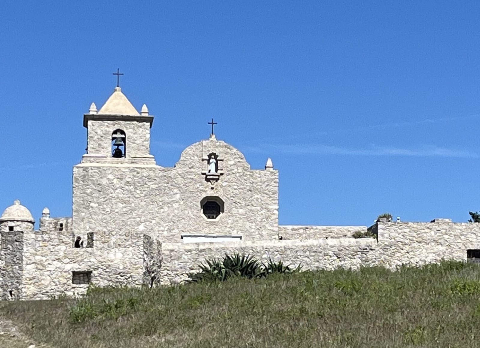
 Michaelluckey / CC BY 4.0 via Wikimedia Commons
The Story
Nuestra Señora de Loreto, called La Bahía, began on April 4, 1721, when Domingo Ramón occupied La Salle's wrecked French settlement on Garcitas Creek. Its palisade was drawn as a sixteen-point star, a plan Texas Historical Commission archaeologists confirmed in 1996-2002 while recovering 157,726 artifacts. Ramón's handling of the Karankawas cost him his life: he ordered the whole Native population, women and children included, locked in a hut, and was stabbed in the fight that followed. The fort moved to the Guadalupe in 1726 and to this hill above the San Antonio River in 1749.
From 1771 it was the only presidio left guarding the Texas coast. In the wars for Mexican independence it was fought over by the Gutiérrez-Magee expedition in 1812-13, Henry Perry in 1817 and James Long in 1821. Texans under George Collinsworth seized it in 1835, and the Goliad Declaration of Independence was signed here. In 1836 James Fannin rebuilt the walls and called it Fort Defiance; after Coleto his men were held in the chapel, and the wounded were killed inside the walls on March 27.
The chapel, virtually intact since 1749, was restored in the 1930s, and the fort was rebuilt in stuccoed limestone in 1963-67 from Joseph Chadwick's 1836 notes and map. After decades under the Diocese of Victoria, the Commission took it over in 2022 and bought it in 2025. The museum in the officers' quarters shows finds from nine layers of occupation, and the old quarters, normally rented overnight, are closed for plumbing work.
Visitor Info
On the Map
Nearby
The closest stops worth working into your route
Historical markers nearby
Roadside plaques and monuments within a short detour