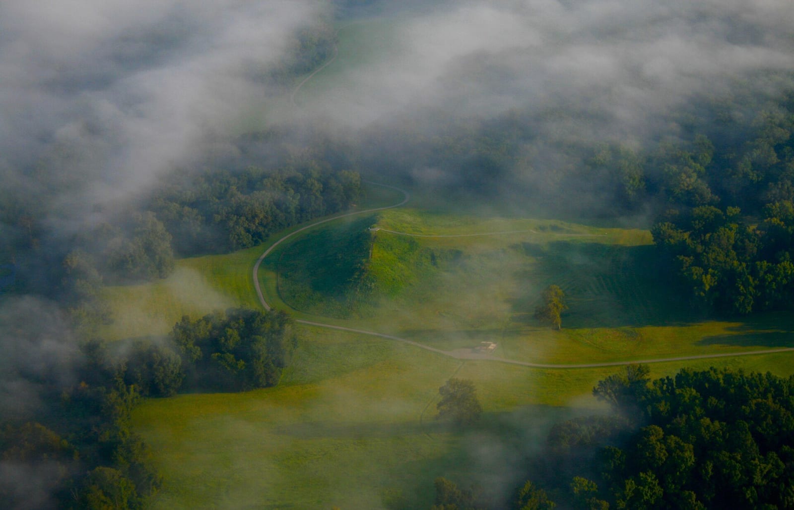
 Jennifer R. Trotter / CC BY-SA 4.0 via Wikimedia Commons
The Story
The people who built Poverty Point left no name for themselves or for the place. According to 64 Parishes, the builders' name for the site and the name of their tribe are unknown, and "Poverty Point" comes from a cotton plantation set up on the land in the early 1800s. They were hunters, fishers and gatherers, not farmers, and between about 1700 and 1100 BCE they moved roughly 750,000 cubic meters of earth on Macon Ridge, above the western edge of the Mississippi floodplain.
Five mounds came out of that work. Mound A is the second-largest constructed earthen mound in North America and was built about 2,200 years before Monks Mound at Cahokia. Six nested, C-shaped ridges curve around a plaza of 43 acres that was filled and leveled; the outermost ridge is about 1.14 kilometers across, and James Ford picked the pattern out of an aerial photograph in 1953. With no local stone, the community drew in tons of steatite, galena, hematite and quartz crystal from as far as 700 miles away, and made fired-clay heating objects from loess. UNESCO inscribed the site on June 22, 2014.
Louisiana bought a 400-acre section in 1972 and runs it as a state historic site, with a museum, an introductory film, ranger-led tram tours and a 2.6-mile hiking trail. The mailing address is 6859 Highway 577, Pioneer. The state lists daily hours of 9 a.m. to 5 p.m. and admission of $6, with guided tours at $10 (November 2026). Call 318-926-5492 for the tram schedule.
Visitor Info
On the Map
Nearby
The closest stops worth working into your route