Home / Kentucky / Northern Kentucky & the River Towns / Maysville Riverfront and the Kentucky Gateway Museum Center
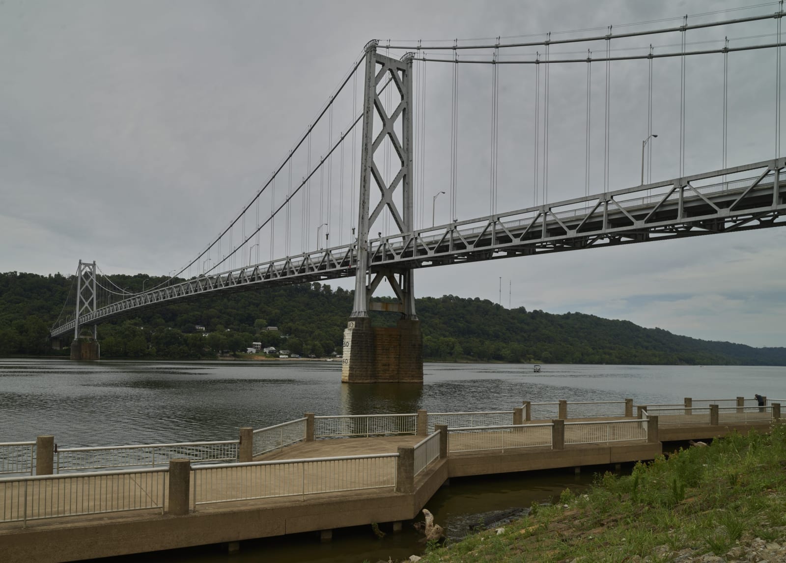
The silver steel Simon Kenton suspension bridge crossing the Ohio River from a riverside walkway at Maysville.Carol M. Highsmith / public domain via Library of Congress
🏛️Historical

Maysville Riverfront and the Kentucky Gateway Museum Center

Part ofNorthern Kentucky & the River Towns

Old Limestone Landing, where flatboats brought settlers into Kentucky, the Maysville Road began and the river divided slavery from freedom.

⏱
Duration
Two to three hours with the museum.
🎟
Admission
The riverfront is free; the museum charges admission.
📅
Best Season
Year round; spring through fall for walking the floodwall.

The Story

Before it was Maysville this was Limestone, a landing at the mouth of Limestone Creek in country the Shawnee had long hunted. Simon Kenton built a cabin near here in 1775 and a blockhouse in 1784, and by 1789 about thirty flatboats a day were putting settlers ashore. From here a road ran south to Lexington. When Congress voted in 1830 to buy stock in the Maysville turnpike, Andrew Jackson vetoed it as a purely local road, and the turnpike was finished anyway in 1835. It is U.S. 68 now.

The county's hemp and tobacco were raised by enslaved people, and the landing faced Ohio, a free state, across a few hundred yards of water. People enslaved in Maysville and its county kept crossing that water. Eight tried it in a skiff below town on September 10, 1849; it capsized, four drowned and four were caught. In 1847 the Maysville Eagle reported ten people gone in one night, and in 1852 it called for an association of slaveholders to stop them.

Today a floodwall stands between downtown and the river, painted since 1998 with murals of the town's history. Nearby, the Kentucky Gateway Museum Center has collected the region's history since its charter in 1878 and keeps a large research library for genealogists. The Simon Kenton Memorial Bridge, a 1931 suspension span, crosses to Aberdeen, Ohio. Walk the riverfront first, then up into the brick streets.

Visitor Info

⏱
Time Needed
Two to three hours with the museum.
🎟
Admission
The riverfront is free; the museum charges admission.
📅
Best Season
Year round; spring through fall for walking the floodwall.
🛣️
Highway
US 68

On the Map

Nearby

The closest stops worth working into your route

historical0.1 mi away
National Underground Railroad Museum
A Maysville museum in the 1837 Bierbower House, telling the escapes across the Ohio to Ripley and the people who rowed, hid and guided them.
historical3.3 mi away
Old Washington
Mason County's first seat, founded in 1786, where Harriet Beecher Stowe watched people sold on the courthouse lawn in 1833.
historical16 mi away
Augusta and the Augusta Ferry
A Bracken County river town with a car ferry still crossing the Ohio, an early Methodist college, and a riverbank more than thirty freedom seekers left from in 1852.
historical19 mi away
Blue Licks Battlefield State Resort Park
The Licking River ford where Shawnee, Wyandot and allied warriors with British rangers routed Kentucky militia on August 19, 1782.
historical21 mi away
Goddard White Covered Bridge
A 63-foot Town lattice covered bridge in Fleming County, the only one of its kind left in Kentucky, framing a white country church.
historical25 mi away
Union Monument in Vanceburg
An 1884 courthouse-lawn monument to Lewis County's Union dead, one of the very few Union memorials among Kentucky's Civil War monuments.

Historical markers nearby

Roadside plaques and monuments within a short detour

Marker0.1 mi away
Elisha Green
Maysville
Marker0.3 mi away
John Samuel Darrough
Maysville
Marker2.9 mi away
Alexander W. Doniphan
Maysville
Marker9.8 mi away
Childhood Home of Dr. Drake
May's Lick
Marker9.8 mi away
May's Lick Negro School
Mays Lick
Marker10 mi away
Charles Young Birthplace
Mayslick