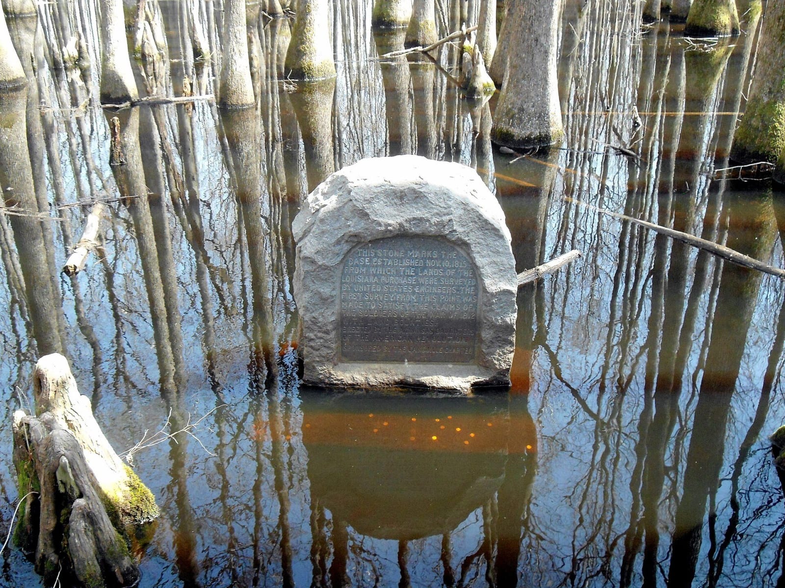
 Brandonrush / CC BY-SA 3.0 via Wikimedia Commons
The Story
Louisiana Purchase State Park protects a headwater swamp on Little Cypress Creek where Phillips, Lee and Monroe counties meet, and a granite monument at its center. The monument marks the initial point from which surveyors laid out the lands of the Louisiana Purchase. A 950-foot boardwalk, a National Recreation Trail since 1981, leads from the swamp's edge to the stone, and panels along it explain the survey and the swamp.
President Madison ordered the survey in 1815 to set up a system for distributing land to veterans of the War of 1812. On November 10, 1815, a party led by Prospect K. Robbins, running the fifth principal meridian north and south, crossed an east-west baseline surveyed by a party under Joseph C. Brown, and the crossing became the initial point. Robbins marked two witness trees, which surveyors Tom Jacks and Eldridge P. Douglas of Helena found in 1921 while resurveying the Lee and Phillips county line. The Daughters of the American Revolution chapter in Marianna dedicated a monument there on October 27, 1926. The site became a National Historic Landmark in 1993.
The park lies at the end of Arkansas 362, east of U.S. 49 and about thirty miles northwest of Helena. It reopened in April 2021 after the monument was raised and set on a new base so that water would no longer cover it. Swamp tupelo, bald cypress and buttonbush grow beside the walk, and prothonotary warblers, kingfishers and barred owls live in the swamp. The park is open daily from 6 a.m. to 9 p.m.
Visitor Info
On the Map
Nearby
The closest stops worth working into your route