Home / Texas / Washington-on-the-Brazos & the Brazos Valley / Lake Somerville State Park and Trailway
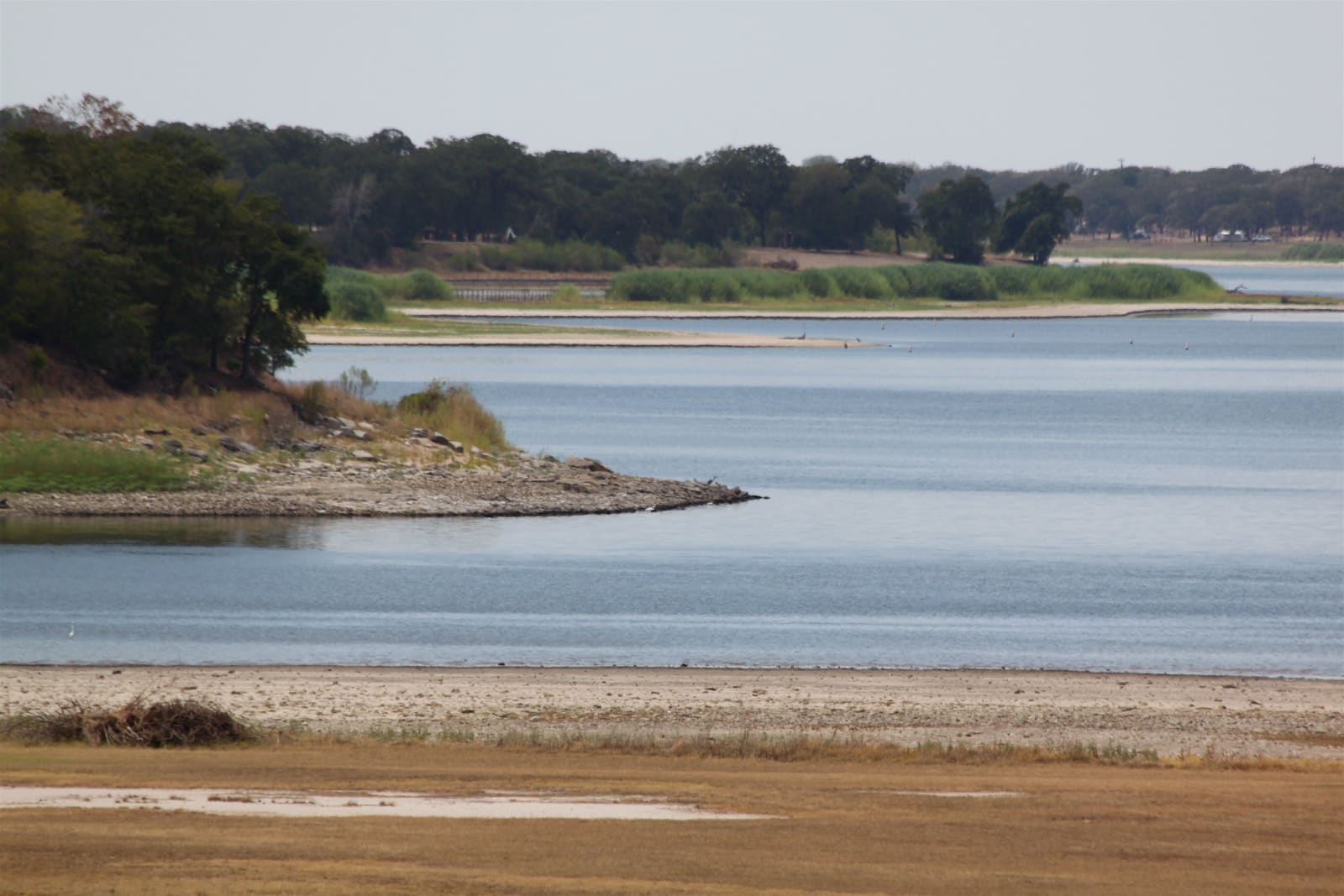
Low water exposing a sandy shoreline at Lake Somerville during the 2011 drought, with wooded shores beyond.Roy Luck / CC BY 2.0 via Flickr
🌲Natural

Lake Somerville State Park and Trailway

Part ofWashington-on-the-Brazos & the Brazos Valley

Two park units on an 11,000-acre lake between Austin and College Station, joined by a thirteen-mile trailway for hikers, cyclists and riders with primitive camps along the way.

⏱
Duration
A day for the trailway; overnight for the full ride or hike.
🎟
Admission
State park entrance fee; see the park website for current fees and reservations.
📅
Best Season
October through May.

The Story

Lake Somerville spreads over more than 11,000 acres between Austin and College Station, and the state park is made up of four units on its shores. Birch Creek lies on the north side of the lake and Nails Creek on the southwest, and the Lake Somerville Trailway, 13.11 miles long, links the two through woods and along the water. Somerville Public Hunting Land is nearby on the lake.

The trailway is the reason to come. It is open to hikers, mountain bikers and riders on horseback, with primitive campsites along the way, chemical toilets at intervals and side loops that bring the park's trails to nearly forty miles. Horses are also allowed on most trails at Nails Creek, which has equestrian campsites.

Both units have boat ramps, swimming and campsites with water and electricity, and both lend fishing gear. Anglers here take hybrid, largemouth and white bass, crappie and catfish, and no license is needed to fish from shore in a state park, though one is needed to fish from a boat. The park no longer rents watercraft. Rangers lead programs for school groups at both units, and the park asks visitors to read its water safety tips before swimming or boating.

Visitor Info

⏱
Time Needed
A day for the trailway; overnight for the full ride or hike.
🎟
Admission
State park entrance fee; see the park website for current fees and reservations.
📅
Best Season
October through May.
🛣️
Highway
FM 180 / State Highway 36

On the Map

Nearby

The closest stops worth working into your route

cultural19 mi away
Texas Wendish Heritage Museum
A museum at Serbin of the Wends, a Slavic people from Lusatia whose congregation of nearly 600 crossed on the Ben Nevis in 1854, losing seventy-three to cholera on the way.
historical22 mi away
Independence and Old Baylor Park
A crossroads north of Brenham that was the richest town in Texas when it won Baylor University in 1845, refused the railroad, and lost the college to Waco and Belton in 1886.
historical31 mi away
George H.W. Bush Presidential Library and Museum
The library of the forty-first president on the Texas A&M campus, opened in 1997, where George and Barbara Bush and their daughter Robin are buried in a family plot on the grounds.
historical34 mi away
Washington-on-the-Brazos State Historic Site
The townsite on the Brazos where delegates met in a cold, unfinished hall in March 1836 to declare Texas independent, with Independence Hall rebuilt and Anson Jones's Barrington farm worked as in 1850.
historical34 mi away
Star of the Republic Museum
A star-shaped museum of the Republic of Texas years, 1836 to 1846, built at Washington-on-the-Brazos after a Brenham campaign and opened on March 1, 1970.
natural36 mi away
Bastrop State Park
The westernmost loblolly pines in the United States, cut off from the East Texas forest by a hundred miles of post oak, burned almost entirely in 2011 and growing back.

Historical markers nearby

Roadside plaques and monuments within a short detour

Marker15 mi away
Round Top
Round Top
Marker15 mi away
Round Top Community
Round Top
Marker15 mi away
Bernard Scherrer
Round Top
Marker15 mi away
Nassau Plantation
Round Top
Marker19 mi away
Town of Shelby
Shelby
Marker19 mi away
McGregor Cemetery (Scottish Presbyterian Cemetery)
Nelsonville