Home / Georgia / Atlanta & the Metro / Kennesaw Mountain National Battlefield Park
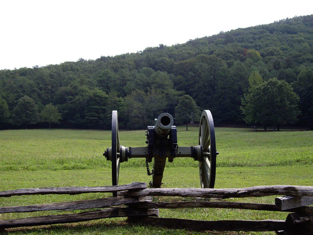
A Civil War cannon behind a split-rail fence on an open field, with the wooded slope of Kennesaw Mountain behind.terra2055 / CC BY-SA 2.0 via Flickr
🏛️Historical

Kennesaw Mountain National Battlefield Park

Part ofAtlanta & the Metro

The Cobb County ridge where Sherman's frontal assault failed on June 27, 1864, on land taken from the Cherokee Nation three decades earlier.

⏱
Duration
Two to four hours.
🎟
Admission
$5 per vehicle per day or $40 annual pass, card only; America the Beautiful passes accepted (NPS, 2026).
📅
Best Season
Year round; fall and spring for the summit trail. The visitor center is open daily 9 a.m. to 5 p.m., closed Thanksgiving, December 25 and January 1; grounds open 6:30 a.m. to dusk. The mountaintop road has been closed to private cars since January 2026, with a free park shuttle (NPS, 2026).

The Story

Kennesaw Mountain stood inside the Cherokee Nation, whose people and their ancestors had lived in north Georgia for thousands of years. By the early 1800s Cherokee families here farmed and ran ferries and stores, and their capital, New Echota, lay to the north. Gold at Dahlonega brought a rush of white Georgians, the state carved Cherokee land into lottery lots in 1832, and in 1838 the Cherokee were forced west on the Trail of Tears. Merchants, planters and small farmers settled the land around the mountain, along with free Black people and enslaved Black people.

On June 27, 1864, William T. Sherman, who had flanked Joseph E. Johnston's army back from Chattanooga for a month, chose to attack its entrenched line head on. A feint struck the mountain itself, an assault on Pigeon Hill stalled in the rocks, and at Cheatham Hill Union troops charged a bend in the trenches the defenders called the Dead Angle. Within hours about 3,000 Union soldiers and 1,000 Confederates were killed, wounded or missing. Sherman went back to flanking, Johnston left on July 2, and the march on Atlanta went on.

An Illinois veteran, Lansing J. Dawdy, bought sixty acres at the Dead Angle in 1899, and an Illinois monument went up in 1914. Congress authorized the site in 1917 and the Park Service took it over in 1935; it now covers nearly 3,000 acres. The visitor center film and museum come first, then the summit trail.

Visitor Info

⏱
Time Needed
Two to four hours.
🎟
Admission
$5 per vehicle per day or $40 annual pass, card only; America the Beautiful passes accepted (NPS, 2026).
📅
Best Season
Year round; fall and spring for the summit trail. The visitor center is open daily 9 a.m. to 5 p.m., closed Thanksgiving, December 25 and January 1; grounds open 6:30 a.m. to dusk. The mountaintop road has been closed to private cars since January 2026, with a free park shuttle (NPS, 2026).
🛣️
Highway
US 41

On the Map

Nearby

The closest stops worth working into your route

historical10 mi away
Pickett's Mill Battlefield State Historic Site
One of the best preserved Civil War battlefields in the country, where an unsupported Union brigade was cut down in a ravine on May 27, 1864.
natural15 mi away
Chattahoochee River National Recreation Area
Forty-eight miles of the Muscogee-named river through Atlanta's north side, with ferry crossings Sherman used, mill ruins and cold trout water.
cultural15 mi away
Atlanta History Center
A 33-acre Buckhead campus with the Swan House, an 1840s farm and the restored Battle of Atlanta cyclorama, once repainted to show a Confederate victory.
historical16 mi away
Sweetwater Creek State Park
The burned five-story New Manchester mill on Sweetwater Creek, whose mostly women workers Union troops charged with treason and shipped north in 1864.
historical16 mi away
Etowah Indian Mounds State Historic Site
Italwa, the Mississippian town on the Etowah River that the Muscogee (Creek) Nation counts as its most important ancestral town, with a 63-foot platform mound.
architectural18 mi away
Fox Theatre
The 1929 movie palace on Peachtree Street, begun as a Shriners' temple, with a desert-sky auditorium and the Moller organ called Mighty Mo, saved from demolition in the 1970s.

Historical markers nearby

Roadside plaques and monuments within a short detour

Marker0.1 mi away
Peachtree Trail
Kennesaw
Marker1.6 mi away
Kennesaw Spur
Marietta
Marker2.1 mi away
Residence of Alice McClellan Birney (1872-1884)
Marietta
Marker2.1 mi away
Federal Troops Occupy Marietta, 1864.
Marietta
Marker2.6 mi away
Kennesaw House
Marietta
Marker2.6 mi away
UDC and Kennesaw House
Marietta