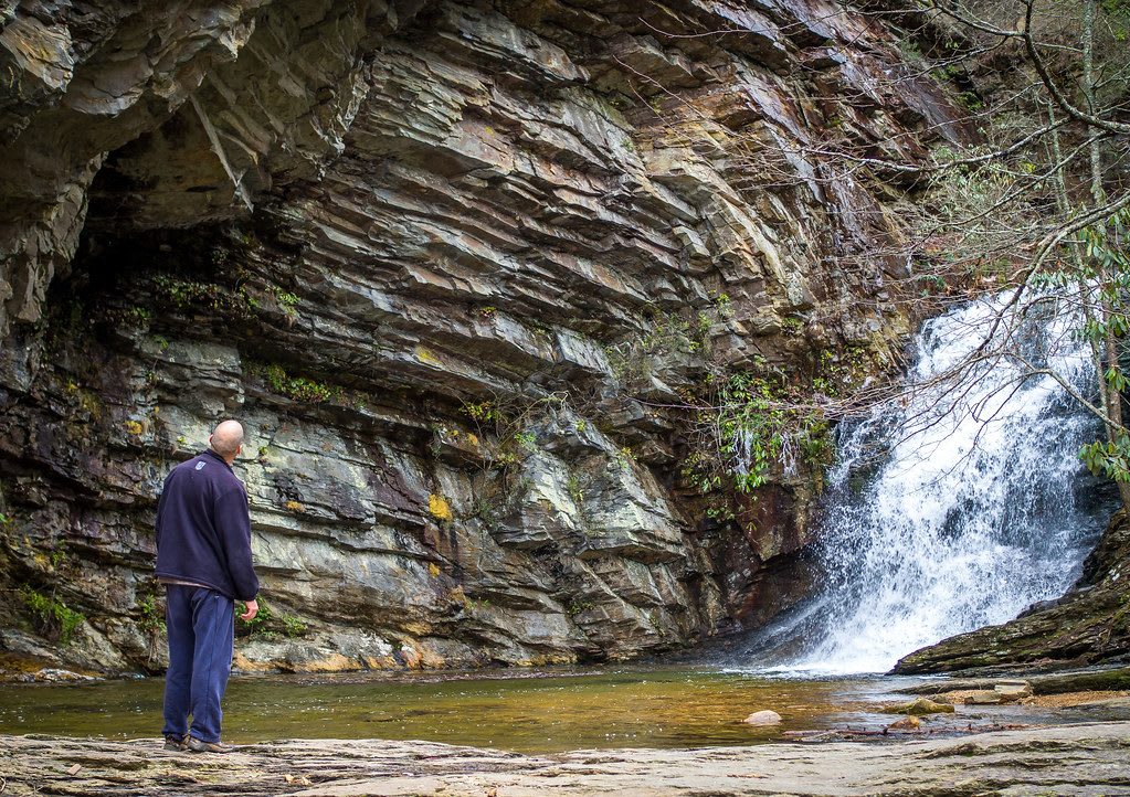
 Sergiy Galyonkin / CC BY-SA 2.0 via Flickr
The Story
The Sauratown Mountains carry the name of the Sara, also written Saura and Cheraw, a Piedmont people who probably spoke a Catawban language. From about 1670 they lived in towns along the Dan River below these ridges, and early in the 1700s raids by the Haudenosaunee drove them southeast to the Pee Dee River, where they settled with the Keyauwee. In the 1730s they moved again to the Catawba River, and their descendants are part of the Catawba Nation today. The old town sites along the river are archaeological ground, not places to visit; the mountains are the way to know the name.
The range is a set of hard quartzite knobs left standing when the softer rock around them wore away, so the peaks rise as much as 1,700 feet above farm country that averages about 800 feet. Developers once bought the highest summit for a mountain resort and went bankrupt. In 1936 the Winston-Salem Foundation and a Stokes County committee gave the state 3,096 acres, and the Civilian Conservation Corps built the first park between 1935 and 1942, including a 12-acre lake and bathhouse now on the National Register.
Trails climb from the visitor center to the overhanging summit of Hanging Rock, to Moore's Knob, the range's high point at 2,579 feet, and down to the Upper and Lower Cascades. Tory's Den, a rock shelter said to have hidden Loyalists during the Revolution, came into the park in the 1970s. Rock climbing is allowed on Moore's Wall and Cook's Wall but not on Hanging Rock itself.
Visitor Info
On the Map
Nearby
The closest stops worth working into your route
Historical markers nearby
Roadside plaques and monuments within a short detour