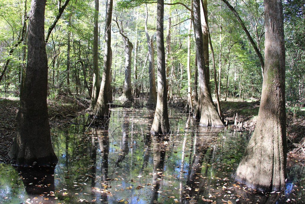
 daveynin / CC BY 2.0 via Flickr
The Story
People have used this floodplain for more than 13,000 years. In 1540 Hernando de Soto crossed the eastern side of what is now the park on his way to Cofitachequi, the seat of a regional chiefdom, and Juan Pardo and later John Lawson wrote of the country and the people living in it. Bates Ferry Trail follows a colonial road that may predate European settlement. Enslaved people used the swamp as a refuge and a place to find liberty, and after emancipation Black families hunted and fished here and held baptisms in Cedar Creek.
The forest survived largely by chance. Between 1890 and 1905 the Chicago lumberman Francis Beidler bought 165,000 acres of South Carolina timber, including a near-virgin tract on the east bank of the Congaree, but he allowed only light cutting and stopped around 1910. When logging threatened again, Harry Hampton, a Dreher High School teacher named Jim Elder and a small band of conservationists pushed Congress to make it a national monument in 1976. More than two-thirds became wilderness in 1988, and it was made a national park in 2003.
Start at the Harry Hampton Visitor Center and walk the 2.6-mile boardwalk loop among bald cypress, loblolly pines and hickories, several of them state or national champions, in the tallest forest in eastern North America. Cedar Creek is a paddling route, and the river can flood the bottomland with little warning.
Visitor Info
On the Map
Nearby
The closest stops worth working into your route
Historical markers nearby
Roadside plaques and monuments within a short detour