 bobistraveling / CC BY 2.0 via Flickr
The Story
The land between the Neuse and the Pamlico was Tuscarora country, shared with Saponi people, and the high ground above this bend is remembered as a ceremonial and gathering place for hunting parties heading out along the river. The river was their road into the interior.
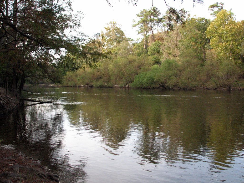
The cliffs come from a fault in the earth's crust. The Neuse followed it and cut down through layers laid by the shallow seas that once covered the coastal plain, and where the river bends against its south bank it has carved a face about 600 yards long and 90 feet high. Bands of sand, clay, seashells, shale and gravel show white, tan, yellow and brown. Behind the bluff, ravines and creeks once turned out cornmeal and moonshine, and longleaf pine is being restored on the uplands; more than 420 kinds of plants grow here, and prothonotary warblers nest along the river.
In 1944 Lionel Weil of Goldsboro, a founder of the city's Oheb Shalom congregation, proposed that the cliffs be saved, and the park opened in 1945 on land he and others gave through the Wayne Foundation. A short walk leads from the parking area to an overlook at the top of the cliffs, and four miles of trails drop to the river. The park has an 11-acre lake, a campground with camper cabins, a visitor center with exhibits on the cliffs, and a launch on the Neuse River paddle trail. Nearby Seven Springs, then called Whitehall, is where the Confederate ironclad Neuse was built.
Visitor Info
On the Map
Nearby
The closest stops worth working into your route
Historical markers nearby
Roadside plaques and monuments within a short detour