Home / Kentucky / Red River Gorge & the Eastern Hills / Cave Run Lake
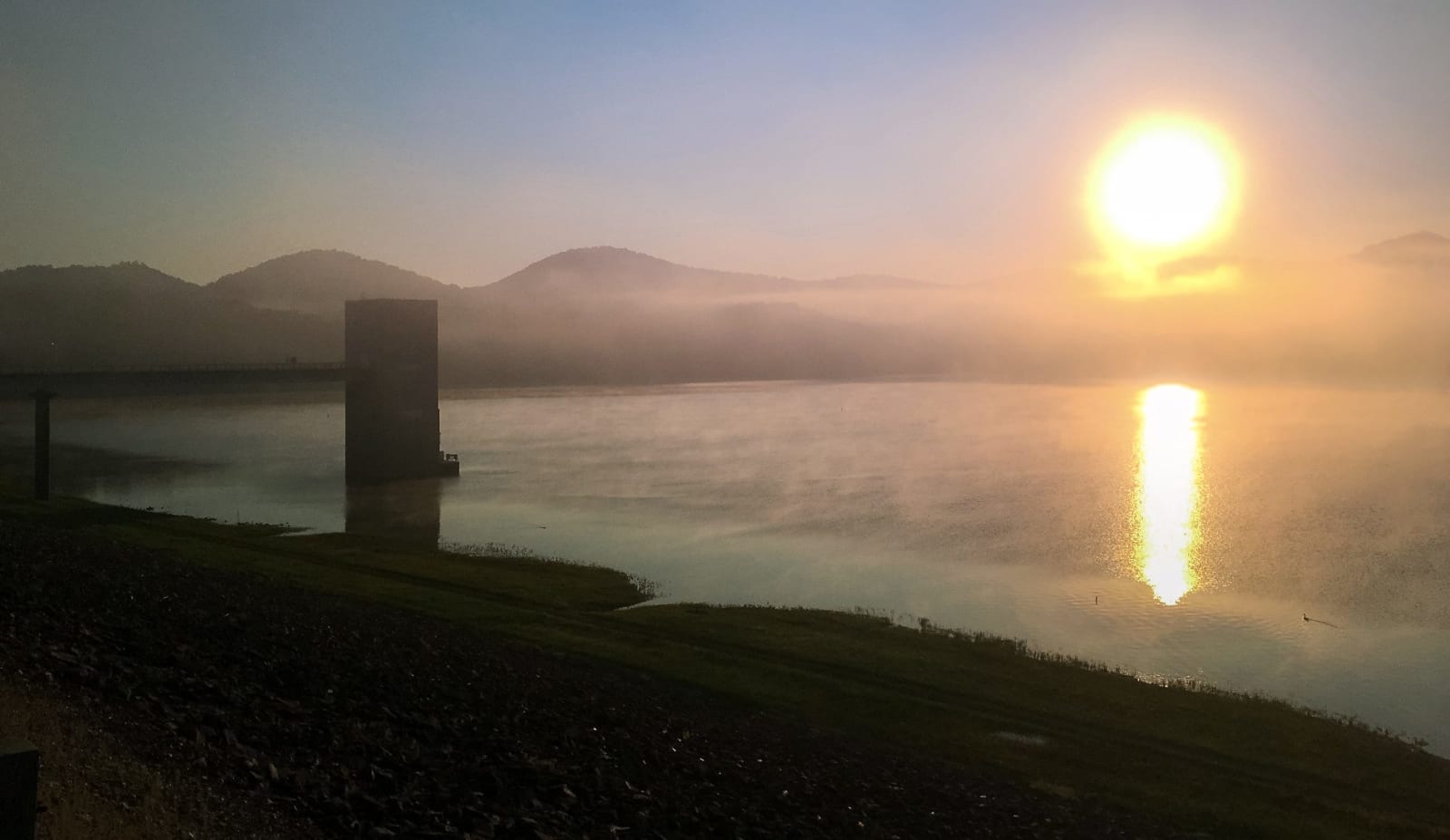
The sun rising over mist on Cave Run Lake, with the dam's intake tower and wooded hills in silhouette.U.S. Army Corps of Engineers, Louisville District / CC BY 2.0 via Flickr
🏕️Recreational

Cave Run Lake

Part ofRed River Gorge & the Eastern Hills

An 8,270-acre Corps of Engineers lake on the Licking River south of Morehead, finished in 1973 and nearly all inside the Daniel Boone National Forest.

⏱
Duration
Half a day to a weekend.
🎟
Admission
Free to visit; beaches and campgrounds charge day-use and camping fees.
📅
Best Season
Spring through fall; summer for the beaches.

The Story

Cave Run Lake fills 8,270 acres of the Licking River valley south of Morehead, behind an earth and rock-fill dam 148 feet high and half a mile long that the Army Corps of Engineers began in 1965 and finished in 1973. The water reaches into Rowan, Morgan, Menifee and Bath counties, and almost all of it lies inside the Daniel Boone National Forest: the Forest Service already held much of the valley, and when the dam was done the Corps handed most of the land it had bought over to the forest.

The lake was built for flood protection on the lower Licking, for water supply and for steadier flow downstream. A concrete tower on the upstream face of the dam drains it, and its intakes sit at different depths so the Corps can release water of the temperature and quality that fish and towns downstream need. The lake also covered older history: two early iron furnaces of the district, Beaver Furnace of about 1820 and Caney Furnace of 1838, lie under it.

Anglers come for muskellunge as well as largemouth and smallmouth bass and crappie. Below the dam on KY 801 the state's Minor E. Clark Fish Hatchery raises 3 to 4 million fingerlings a year, from bass to muskie, striped bass and walleye, on water drawn through the dam's tower. Twin Knobs on the Rowan County shore has a campground, Zilpo Road runs down the Bath County side, and Scott's Creek and Long Bow marinas serve boaters.

Visitor Info

⏱
Time Needed
Half a day to a weekend.
🎟
Admission
Free to visit; beaches and campgrounds charge day-use and camping fees.
📅
Best Season
Spring through fall; summer for the beaches.
🛣️
Highway
KY 801

On the Map

Nearby

The closest stops worth working into your route

cultural7.4 mi away
Kentucky Folk Art Center
Morehead State University's folk art museum in the old Union Grocery on First Street, with about 1,400 works by Kentucky self-taught artists.
historical7.6 mi away
Cora Wilson Stewart Moonlight School
A Rowan County schoolhouse kept in downtown Morehead in honor of the 1911 Moonlight Schools, which taught grown men and women to read by night.
geological19 mi away
Red River Gorge Geological Area
The Daniel Boone National Forest's canyon country: sandstone cliffs, rock shelters and more than 100 arches, with the Gladie Visitor Center on KY 715.
natural19 mi away
Red Wild and Scenic River
The stretch of the Red River that a 1960s Corps of Engineers dam would have flooded, saved by a 1967 protest hike, a book and a 1993 act of Congress.
historical20 mi away
Goddard White Covered Bridge
A 63-foot Town lattice covered bridge in Fleming County, the only one of its kind left in Kentucky, framing a white country church.
geological24 mi away
Natural Bridge State Resort Park
A 78-foot sandstone arch that a railroad opened to tourists in 1895, one of Kentucky's four original state parks, with Hemlock Lodge below it.

Historical markers nearby

Roadside plaques and monuments within a short detour

Marker7.5 mi away
Rowan County "War," 1884-1887
Morehead
Marker7.6 mi away
Courthouse Burned
Morehead
Marker7.6 mi away
National Register Historic District
Morehead
Marker12 mi away
Meniffe County
Frenchburg
Marker13 mi away
Bourbon Iron Works
Owingsville
Marker14 mi away
Gen. Hood Birthplace
Owingsville