The High Plains & the Canadian River Breaks
XIT ranch country around Dalhart, Lake Meredith in the Canadian River breaks, Borger's 1926 oil boom, the Plains Village towns and the 1874 fight at Adobe Walls.
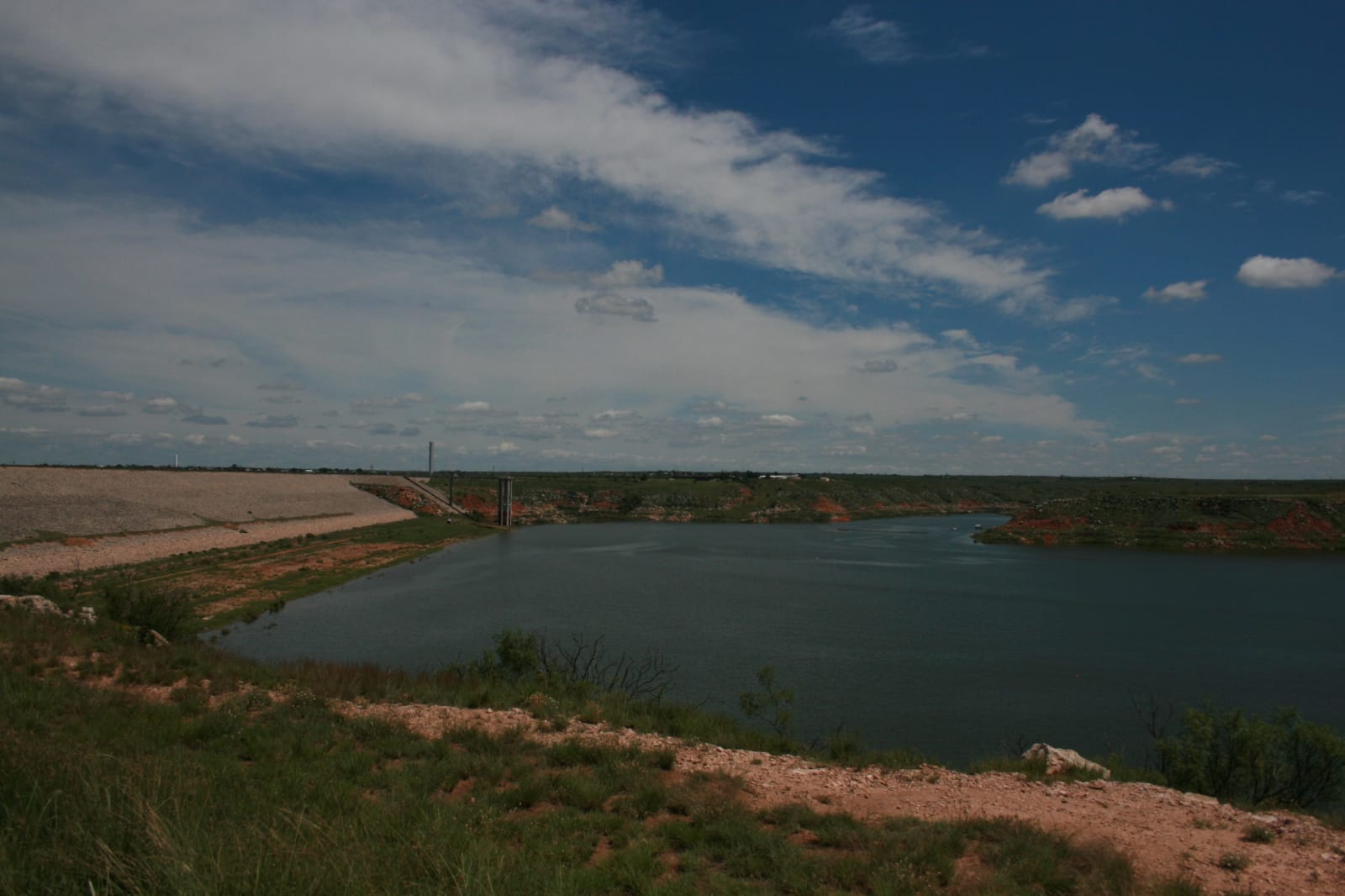
The top of the Texas Panhandle is two kinds of country. Most of it is High Plains, level shortgrass and wheat land. Across the middle runs the Canadian River, in a gorge 500 to 800 feet below the plain, and its red breaks are the only rough ground between New Mexico and Oklahoma. US-87 and US-54 cross the plains to Dalhart, where the XIT Museum tells of the ranch a Chicago syndicate ran on the three million acres Texas traded for its Capitol in Austin. TX-136 drops into the breaks at Lake Meredith, the reservoir behind Sanford Dam that the National Park Service keeps for camping, boating and birding, and runs on to Borger, the oil boomtown of 1926.
This was Nʉmʉnʉʉ, Comanche, country, shared with the Kiowa and the Cheyenne and Arapaho. Before them, Plains Village farmers built stone-walled houses above the Canadian and Wolf Creek between about 1200 and 1500. On June 27, 1874, some 700 warriors, most of them Cheyenne, Comanche and Kiowa, led by Quanah Parker and Isa-tai, attacked the buffalo hunters' camp at Adobe Walls, whose hide trade was emptying the herds, and the Red River War followed. The battle ground holds graves, so this guide tells it without directions.
East of the lake, the river runs on through Roberts and Hemphill counties to the town of Canadian and the Oklahoma line.
The High Plains & the Canadian River Breaks rewards the unhurried. Pick a base, fan out, and let the country between the headline stops surprise you.
← Explore more of Open Road Guide