The Flood Control Act of 1938 put the Buffalo on the Army Corps of Engineers' list of rivers to be dammed. By 1954 the Corps had chosen two sites: Lone Rock, 3.5 miles from the mouth, 230 feet high, and Gilbert, about 60 miles upstream, at 218 feet. Flood-control bills that included both passed Congress in 1956 and 1957, and President Eisenhower vetoed them.
A float and a meeting
In early May 1962 Dr. Neil Compton took Justice William O. Douglas on a canoe trip down the river. On May 24, in Fayetteville, Compton became the first president of the Ozark Society, whose 28 charter members paid a dollar each. James Tudor helped found the pro-dam Buffalo River Improvement Association, and Corps hearings at Marshall in 1962 and 1964 favored the dam backers, then stalemated. In December 1964 the Corps proposed building only Gilbert.
On December 10, 1965, Governor Orval Faubus wrote the Army's chief of engineers that he could not support a dam, and by April 1966 the Corps had withdrawn both dams. Representative James Trimble lost his seat that fall to John Paul Hammerschmidt, and in 1967 Hammerschmidt and Senators J. William Fulbright and John McClellan introduced park bills. Congress passed one in February 1972, and on March 1 President Nixon signed Public Law 92-237, with a ceiling of 95,730 acres.
The farms
Hammerschmidt later recalled that most people along the river opposed the Park Service, and in 1968 Newton County voters rejected a national river by more than 95 percent. To help the bill pass, Park Service director George Hartzog proposed a private use zone where owners would sell only easements. In Boxley Valley, a Park Service official who worked there wrote, about 75 percent of that zone was bought outright anyway. When the park began, the valley held 24 bottomland farms and more than 50 residents. By 1982 many bought houses stood empty and about 40 people remained, and locals saw a plan to be rid of them.
By the mid-1970s the park had acquired about 60 percent of its land by donation and from willing sellers, and its superintendent later counted 940 sellers, from families to estates. Thirty families kept their homes until 2004, and twenty never sold. Doretha Dillard Shipman said her family's 100-acre farm near Mull went to the government; her father, Pate Dillard, spoke against the dam whenever he could, yet she said the farm was lost either way. Her daughter Treva Stoops said "We are tied to this river with very deep roots." Condemnation continued. In 1982 Medora Peters Brown, Rudolph Johnson and Joie Johnson appealed a federal taking of about 320 acres.
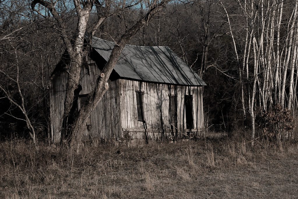
At Rush the loss came earlier. The Hicks family, who arrived in 1903, closed their businesses in the late 1920s as the mines failed, and by the early 1940s the last of them had died or left.
What was kept
Under a policy begun in 1982, some Boxley farms returned to private hands, and about a dozen families asked to buy their old farms back. The Boxley Valley Historic District still has working farms. At Buffalo National River at Tyler Bend, a short walk reaches the Collier Homestead, where one family lived until 1962.