The Davis Mountains Scenic Loop: Fort Davis and Mount Locke
About 75 miles from Fort Davis up TX-118 through Limpia Canyon past McDonald Observatory, then around the range on TX-166 below Sawtooth Mountain and back to town.
The Route at a Glance
The Davis Mountains rise northwest of Fort Davis, a volcanic range some thirty-five million years old whose highest peak, Mount Livermore, reaches 8,378 feet. They wring up to eighteen inches of rain a year from the westerly winds, against eight to twelve in the desert around them, and grow pine and oak the lowlands cannot. This loop circles the highest part of the range in about 75 miles, two hours without stops, starting and ending in Fort Davis. The Guadalupe & Davis Mountains covers the country around it.
The road is older than the park and the observatory it serves. In 1927 the legislature, pushed by State Senator Thomas B. Love of Lancaster, a summer resident of Fort Davis, ordered a Davis Mountains State Park Highway built on donated right-of-way, for camping, tourism and a state park that did not yet exist. A Highway Department division engineer said in 1928 that he doubted any 75 miles of more beautiful country could be found in Texas. The loop was complete by 1939, and since 1941 its north side has been TX-118 and its south and west sides TX-166.
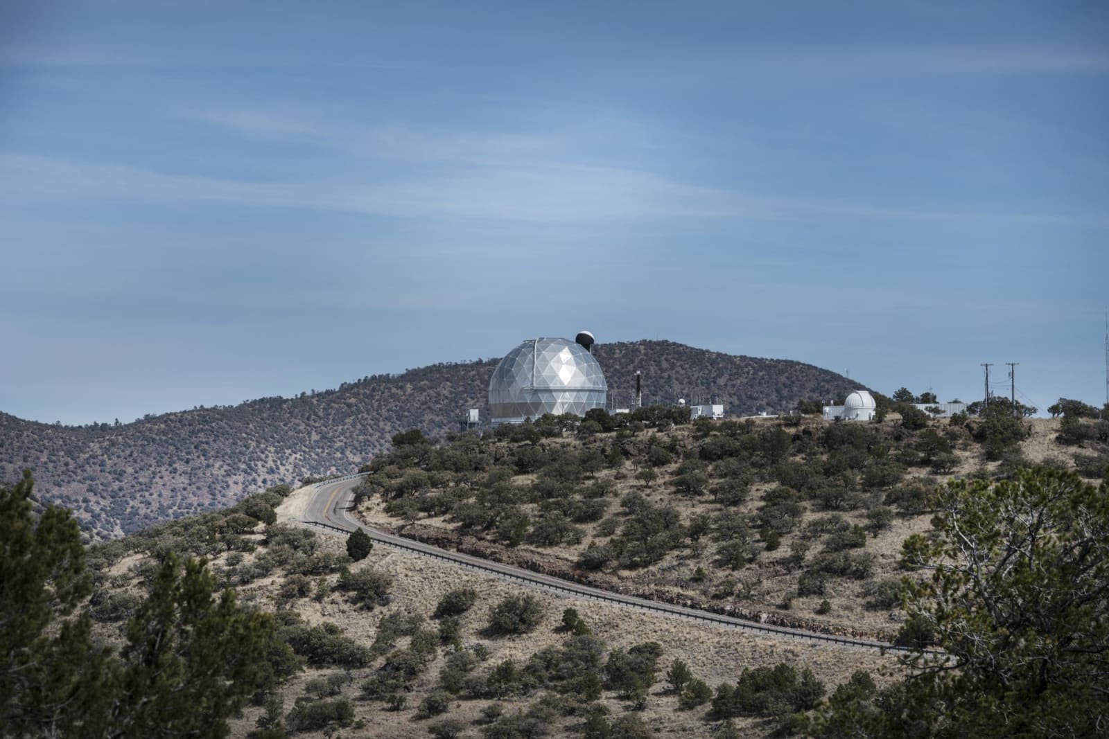
TX-118 leaves town past Fort Davis National Historic Site and climbs Limpia Canyon by Davis Mountains State Park. About fifteen miles out, Spur 78 turns up Mount Locke to McDonald Observatory, on land given from G. S. Locke's ranch; at about 6,790 feet the summit is the highest point you can drive to on a Texas highway. Beyond the observatory the road narrows, often unfenced, with cattle guards and loose livestock, so take the curves slowly. In Madera Canyon a roadside picnic area under ponderosa pines is the trailhead for a 2.4-mile loop through the Nature Conservancy's Davis Mountains Preserve.
Near Nunn Hill, TX-166 turns south around the west side of the range under Sawtooth Mountain, 7,686 feet. At the Rockpile below it, highway engineers reported in 1941 that they had found Kit Carson's name and the date December 25, 1839, carved on a boulder. The road passes Skillman's Grove, home of the Bloys Camp Meeting since 1890, and at the Valentine road, RM 505, it widens and runs east across open grassland for the last 23 miles to TX-17, two miles south of Fort Davis. The Chihuahuan Desert Nature Center is about four miles south of town on TX-118.
The Drive, Stop by Stop
4 stops along the route, in driving order from Fort Davis, Texas to Fort Davis, Texas. One of them sits off the road itself — the distance is noted on each.
- 1
- 2
- 3
- 4
That's the drive. Take your time, pull over often, and let The Davis Mountains Scenic Loop: Fort Davis and Mount Locke do what it does best.
← Explore more of Open Road Guide