The Upper Cumberland
From Pickett's rock shelters to Fall Creek Falls: a plateau of waterfalls, New Deal parks, the York and Hull birthplaces, a railroad depot and spa-town springs.
The Cumberland Plateau and the Highland Rim below it were hunting country long before anyone surveyed them. People sheltered in the sandstone around Pickett and the Big South Fork for twelve thousand years, and villages stood in northern Overton County as far back as the Archaic period. By the 1700s the Cherokee (Tsalagi) held these hills, and some accounts put the line between their country and the Shawnee's at the Standing Stone in Monterey, which gave Standing Stone State Park its name.
Settlers came on the long hunters' paths and then by rail, the Tennessee Central that tied Cookeville's depot to Nashville. Alvin York and Cordell Hull both came out of these hills, one a Medal of Honor soldier, the other a secretary of state. The New Deal remade the worn-out land: Cumberland Homesteads, with its Crab Orchard stone houses and octagonal tower, and the Civilian Conservation Corps parks at Pickett, Standing Stone and Fall Creek Falls.
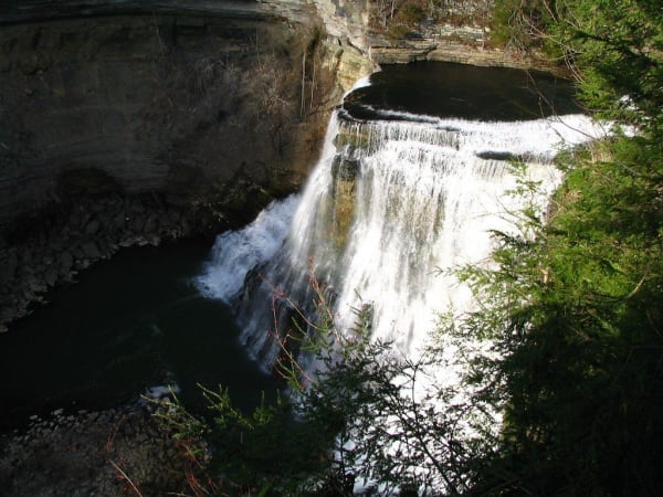
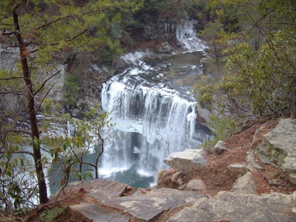
Water runs through all of it, in the gorges of Fall Creek Falls, Burgess Falls and Cummins Falls, on the Caney Fork at Rock Island, and in the red sulphur springs of Red Boiling Springs, where the Donoho Hotel burned in 2025. At Muddy Pond, near Monterey, Mennonite families still press sorghum each fall.
What to See in The Upper Cumberland
12 places across the region, grouped by what they are.
Natural Areas
Historic Sites
Towns & Gateways
The Upper Cumberland rewards the unhurried. Pick a base, fan out, and let the country between the headline stops surprise you.
← Explore more of Open Road Guide