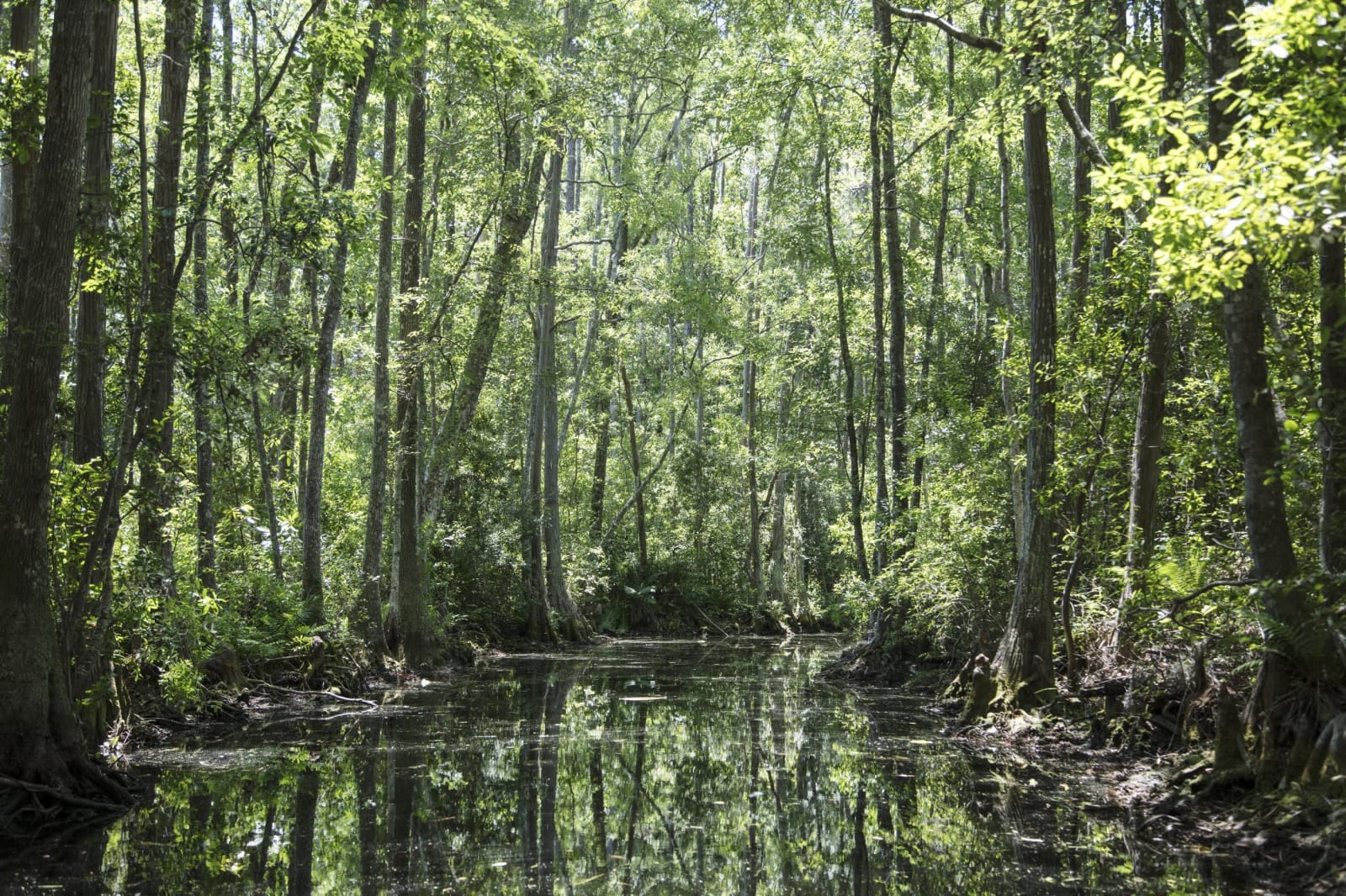
The Okefenokee & Southeast Georgia
Georgia's swamp country: the Okefenokee from Folkston, Fargo and Waycross, Banks Lake's cypress, wiregrass farms, Moody Forest and the 1918 Mary Turner marker.
People raised sand mounds on the Okefenokee's islands a thousand years ago, Timucuan towns and Spanish missions stood at its edge in the 1600s, and the swamp later sheltered Muscogee (Creek) hunters and Seminole families until troops burned their island village in 1838. The Okefenokee Heritage Center in Waycross traces those peoples, and the refuge entrance near Folkston begins at the ditch of an 1891 scheme to drain it all.
Rail and timber remade this country. Cypress went out on logging lines that reached Billys Island, near today's Okefenokee State Park, longleaf left from Folkston's depot, and Valdosta, moved from Troupville to meet the tracks in 1860, became the world's largest inland market for Sea Island cotton. In 1937 an all-Black CCC company built the refuge's roads, and in Hahira a marker names Mary Turner and the others killed by white mobs in May 1918.
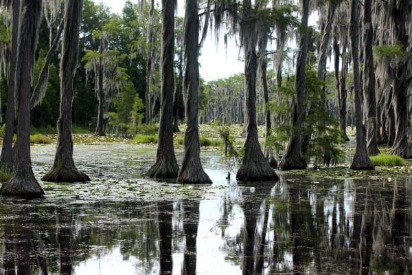
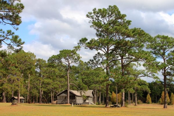
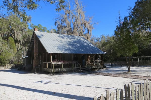
Laura S. Walker State Park and the Okefenokee Swamp Park guard the northern rim, Banks Lake holds cypress in black water near Lakeland, General Coffee State Park keeps a wiregrass farm, and Moody Forest shelters old longleaf on the Altamaha, where rafts of logs once floated to Darien. Since 2026 the swamp at the center of it all has been a World Heritage Site.
What to See in The Okefenokee & Southeast Georgia
11 places across the region, grouped by what they are.
Natural Areas
Historic Sites
Towns & Gateways
Roadside Stops
The Okefenokee & Southeast Georgia rewards the unhurried. Pick a base, fan out, and let the country between the headline stops surprise you.
← Explore more of Open Road Guide