Home / Texas / Sherman, Paris & the Red River Valley / Eisenhower State Park
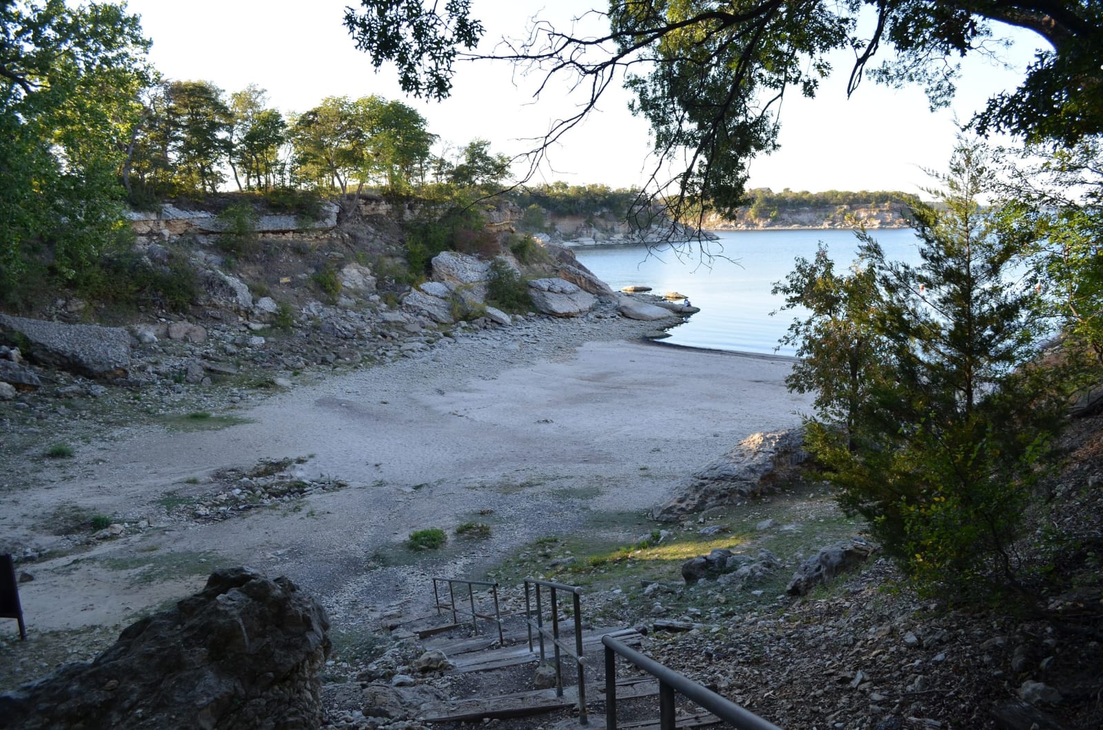
A rocky cove at Eisenhower State Park, with a wooden stairway leading down to a gravel shore and the blue water of Lake Texoma beyond wooded bluffs.GrapevineTxOnline.com / CC BY 2.0 via Wikimedia Commons
🏕️Recreational

Eisenhower State Park

Part ofSherman, Paris & the Red River Valley

A bluff-top park on Lake Texoma opened in 1958 on land leased from the Corps of Engineers, in the Red River country of Fort Johnson, Colbert's Ferry and the Butterfield stages.

⏱
Duration
Two hours to a day.
🎟
Admission
Adults $5 daily; children 12 and under free.
📅
Best Season
Open daily 8 a.m. to 4:30 p.m. Busy in spring, summer and fall. January lows average 32 degrees; July highs average 90.

The Story

Eisenhower State Park sits on bluffs above Lake Texoma, the Red River reservoir behind Denison Dam, which the Army Corps of Engineers finished in 1943. Texas leased 463.1 acres from the Corps in 1954, and the park opened in 1958 under the name of the president born in nearby Denison.

People crossed this country long before the lake. Texas Parks and Wildlife's park history lists Fort Johnson, established in 1840, and Colbert's Crossing on the Red River, in use from 1853 until 1931. The Handbook of Texas says the ferry was run by Benjamin Franklin Colbert, a Chickasaw, that the Butterfield Overland Mail used it from 1858 to 1861, and that a free bridge over the river opened on July 25, 1931.

The park has more than four miles of walking and biking trails along high bluffs, the self-guided Armadillo Hill Nature Trail, a sandy swimming cove, and a boat ramp. Two fishing piers, one lit for night fishing, reach water where anglers go for striped bass, crappie and catfish. The park lists fossils from an ancient ocean among its features, and there are campsites, screened shelters and Ike's Cabin. It often reaches capacity in spring, summer and fall, and reservations are recommended.

Visitor Info

⏱
Time Needed
Two hours to a day.
🎟
Admission
Adults $5 daily; children 12 and under free.
📅
Best Season
Open daily 8 a.m. to 4:30 p.m. Busy in spring, summer and fall. January lows average 32 degrees; July highs average 90.
🛣️
Highway
Park Road 20

On the Map

Nearby

The closest stops worth working into your route

historical5.7 mi away
Eisenhower Birthplace State Historic Site
The small frame house beside the Katy tracks in Denison where Dwight Eisenhower was born in 1890, bought by townspeople in 1946 and given to Texas in 1958.
natural10 mi away
Hagerman National Wildlife Refuge
A 1946 refuge on the Big Mineral Arm of Lake Texoma, laid over land bought for Denison Dam and the site of the vanished railroad town of Hagerman, now a winter stop for geese.
cultural15 mi away
Choctaw Cultural Center
The Choctaw Nation's history told from the Chahta side at Calera, with galleries from Nanih Waiya to the Trail of Tears and the reservation today, a living village and daily stickball.
historical20 mi away
Fort Washita Historic Site
The 1842 post built to keep the peace for the Chickasaw and Choctaw in their new lands, burned at the end of the Civil War and bought by the Chickasaw Nation in 2017.
natural27 mi away
Tishomingo National Wildlife Refuge
A 16,464-acre refuge on the Washita arm of Lake Texoma, where thousands of wintering geese feed on wheat planted for them along Wildlife Drive.
historical28 mi away
Chickasaw White House
Governor Douglas H. Johnston's Queen Anne house at Emet, where the Chickasaw Nation's business went on through allotment and statehood, kept today by the Nation.

Historical markers nearby

Roadside plaques and monuments within a short detour

Marker3.7 mi away
Colbert's Ferry
Denison
Marker3.7 mi away
1931 Free Bridge Controversy
Marker4.2 mi away
Miller's Spring
Denison
Marker4.5 mi away
Fink
Pottsboro
Marker4.7 mi away
Site of Terrell High School
Denison
Marker4.7 mi away
Preston Road/Shawnee Trail
Pottsboro