Home / Tennessee / Knoxville & the Great Smoky Mountains / Cades Cove
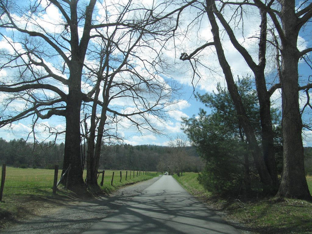
A narrow paved lane runs between tall bare trees and fenced meadows toward distant forested ridges.Dougtone / CC BY-SA 2.0 via Flickr
🏛️Historical

Cades Cove

Part ofKnoxville & the Great Smoky Mountains
On this driveUS 441, Newfound Gap Road: Cades Cove to the North Carolina Line

A Smokies valley ringed by mountains, once the Cherokee hunting ground of Tsiyahi and later a farming community of 685 people, kept by the park after its families were bought out.

⏱
Duration
Half a day.
🎟
Admission
No entrance fee to the national park; see the National Park Service for current parking-tag rules.
📅
Best Season
Year round. Early mornings and weekdays are quieter, and the loop road is closed to cars on set mornings for walkers and cyclists (NPS).

The Story

Cades Cove is a limestone valley ringed by the high Smokies, and an eleven-mile one-way loop road circles it past log houses, barns, three churches and a gristmill. Cherokee (Tsalagi) people hunted here long before the farms, and the valley's Cherokee name, Tsiyahi, means "otter place." The Cherokee gave up their last claim to the Smokies in 1819, and in 1838 most were forced west to Oklahoma on the Trail of Tears.

John Oliver and his family settled in the fall of 1818, and by 1850 the cove held 685 people. Baptist and Methodist congregations formed in the 1820s, schoolhouses followed, and the last school did not close until 1944. The Civil War divided a mostly Unionist community, and guerrilla bands from North Carolina raided it for food and valuables.

The park ended that life. Tennessee and North Carolina began buying land in 1927, and the whole cove was drawn into the park boundary despite earlier promises that it would be left alone. Some families sold. John W. Oliver, the first settler's grandson, fought the taking in court and lost on his third appeal to the Tennessee Supreme Court. Others took life leases at lower prices and lived under Park Service rules. The cabins, mill and churches you pass survive because the park kept them, and most of the families who built them did not stay.

Visitor Info

⏱
Time Needed
Half a day.
🎟
Admission
No entrance fee to the national park; see the National Park Service for current parking-tag rules.
📅
Best Season
Year round. Early mornings and weekdays are quieter, and the loop road is closed to cars on set mornings for walkers and cyclists (NPS).
🛣️
Highway
Laurel Creek Road, from Townsend (US-321)

On the Map

Nearby

The closest stops worth working into your route

natural21 mi away
Newfound Gap
The lowest drivable pass through the Smokies, at 5,046 feet on the Tennessee and North Carolina line, where Roosevelt dedicated the park in 1940 and Kuwohi's Cherokee name was restored in 2024.
historical24 mi away
Fort Loudoun State Historic Park
A reconstructed 1756-57 British fort on the Little Tennessee River in Overhill Cherokee country, besieged in 1760 and surrendered on August 9 of that year.
cultural24 mi away
Sequoyah Birthplace Museum
The Eastern Band of Cherokee Indians' museum on Tellico Lake, near the town where Sequoyah was born, telling how he built the Cherokee syllabary and what the Tellico Dam drowned.
historical25 mi away
Blount Mansion
The 1792 frame house of William Blount, governor of the Southwest Territory, Knoxville's only National Historic Landmark, where the people he enslaved are named.
cultural26 mi away
Beck Cultural Exchange Center
Knoxville's Black history museum and archive, opened in 1975 in the 1912 Dandridge Avenue house the community bought for $22,500.
historical38 mi away
American Museum of Science and Energy
The Oak Ridge museum that opened in 1949, when the Manhattan Project city's gates opened, in a town whose Black workers were housed in the Gamble Valley hutments.

Historical markers nearby

Roadside plaques and monuments within a short detour

Marker14 mi away
Maryville College
Maryville
Marker14 mi away
Montvale Springs
Maryville
Marker14 mi away
William Bennett Scott, Sr. ca. 1821-1885
Maryville
Marker14 mi away
Where Houston Enlisted
Maryville
Marker17 mi away
Hunt Field
Alcoa
Marker17 mi away
John H. Reagan
Gatlinburg