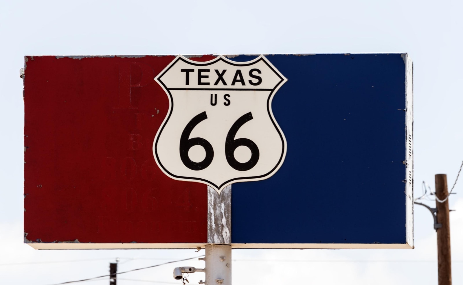
When Route 66 was designated in 1926, the Texas Historical Commission's surveyors found, it was in most Panhandle towns an overlay, a new federal number on a road people were already using.
Last to be paved
In 1929 a Texaco road report found the road fully paved in Kansas, two-thirds paved in Missouri and a quarter paved in Oklahoma. The 1,200 miles from Texas to California were unimproved, and until the early 1930s Texas, New Mexico, Arizona and the California desert had about 64 paved miles of it between them. Texas was one of the last states to finish. From 1933 to 1938 thousands of men on federal relief, many in Civilian Conservation Corps and Works Progress Administration crews, worked the road, and in 1938 it was reported paved from Chicago to Los Angeles.
The road kept moving. The 1931 AAA guide gave Texas 194.7 miles of Route 66; by 2002 the drivable distance was about 178. Curves were straightened and towns bypassed in the 1930s and 1940s, and Amarillo alone had three alignments: Tenth Avenue into downtown and out on Sixth from 1926 to 1932, then Amarillo Boulevard and Fillmore Street, then a straight run on the boulevard from the 1950s. Interstate 40 came late. Maps show it still under construction around Groom in 1983, and McLean, the last Texas town on the road to be bypassed, kept its traffic until after 1978. Texas decommissioned Route 66 in 1985.
Four roads in one
In 2018 a survey for the Texas Historical Commission and the National Park Service recorded 962 buildings, structures and sites tied to the road, among them 174 gas stations, 114 places to eat and 63 motels. More than half stood in Amarillo. The team mapped four alignments and in a few places could not be sure of the first. The early path into Alanreed, the stretch east of Groom from Boydston and Jericho, the approach to Washburn and the entry to Amarillo from the southeast all had to be estimated. For the Jericho Gap, which the team named as one of the tricky areas to navigate, they relied on a map by the Route 66 guidebook author Jerry McClanahan kept at the Devil's Rope Museum in McLean. Where fields have been plowed for decades, they concluded, the earliest road may have been plowed away.
What is left
Most of the old road is still drivable as frontage roads, business loops and county roads. A few pieces cross private land, between Jericho and Alanreed and in Oldham County. Near Jericho and between Amarillo and Adrian, small concrete bridges stand near the line of the 1926 to 1932 road, the roadbed they carried gone. Where the road has not been resurfaced, the grooves between the original concrete pours can still be felt through the tires. The best-kept pieces are the south frontage road through Wheeler County, an unpaved stretch between Alanreed and McLean, a National Register segment west of Conway and the divided street through Glenrio. Along the way stand the U-Drop Inn, the Phillips 66 station in McLean and Sixth Street in Amarillo.