Spartanburg, Rock Hill & the Olde English District
Catawba country and the Revolution's turning ground: Cowpens, Kings Mountain, Brattonsville, the Friendship Nine's counter, and the spider lilies of Landsford Canal.
This is Catawba country. The Catawba, the people of the river, have lived along it for thousands of years, and their cultural center near Rock Hill keeps a pottery tradition that never broke, through the 1840 treaty that took their land and the 1993 settlement that restored their federal recognition. The Waxhaw people lived to the south, where Andrew Jackson was born in 1767, the boy who as president would drive the Native nations west, and the Spartanburg hills were Cherokee hunting ground.
In 1780 and 1781 the backcountry war turned here: Huck's Defeat at Brattonsville, where a man named Watt lies among at least 481 people of African descent, then Musgrove Mill, Kings Mountain and Cowpens. Walnut Grove and Rose Hill, where Governor Gist drove secession, rested on enslaved labor; at Rose Hill, Vardy and Clayborn Gist came out of slavery to join the militia and vote. In 1961 the Friendship Nine sat down at the McCrory's counter in Rock Hill and chose the chain gang over bail.
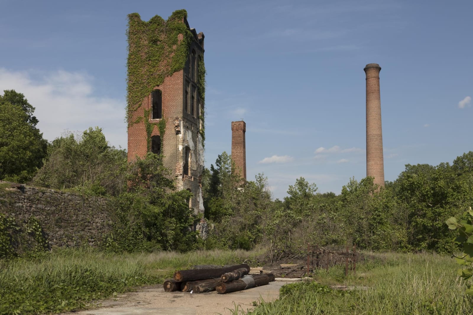
Water did the rest. Enslaved people dug the Landsford Canal around the Catawba shoals, where spider lilies whiten the river from mid-May; Lawson's Fork turned the Bivingsville mill of the 1830s, later Glendale, long before Spartanburg ringed itself with mills; and Croft's trails cross farms the Army took for a World War II camp.
What to See in Spartanburg, Rock Hill & the Olde English District
12 places across the region, grouped by what they are.
Natural Areas
Hikes & Trails
Historic Sites
Towns & Gateways
Scenic Drives through Spartanburg, Rock Hill & the Olde English District
Spartanburg, Rock Hill & the Olde English District rewards the unhurried. Pick a base, fan out, and let the country between the headline stops surprise you.
← Explore more of Open Road Guide