Home / South Carolina / Spartanburg, Rock Hill & the Olde English District / Glendale Shoals Preserve
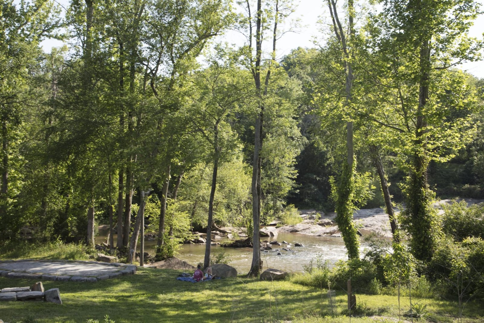
Lawson's Fork Creek runs over pale rock shoals beyond a sunny lawn and tall green trees.Carol M. Highsmith / public domain via Library of Congress
🌲Natural

Glendale Shoals Preserve

Part ofSpartanburg, Rock Hill & the Olde English District

Lawson's Fork Creek falling over the shoals and dam at Glendale, the site of an early ironworks and the Bivingsville cotton mill of the 1830s.

⏱
Duration
One hour.
🎟
Admission
Free.
📅
Best Season
Year round; late summer and fall for low water on the shoals.

The Story

Lawson's Fork Creek breaks over a ledge of rock at Glendale, and that fall of water drew industry early. Before the cotton mills, this part of the county was the Old Iron District, and its largest works was probably the Wofford, later Berwick, Iron Works, on the creek where Glendale is now. In the 1830s Dr. James Bivings built the Bivingsville Cotton Factory on the same shoals.

Dexter Edgar Converse, a Vermont-born mill man, came to Bivingsville in February 1855, became its manager and within a year a partner, and was kept running the mill through the Civil War. After Bivings died in 1868 Converse and his brother-in-law bought out the stock, renamed the firm D. E. Converse and Company in 1870, and in 1878 the village itself became Glendale. Converse went on to build the Clifton mills on the Pacolet and to help found the women's college in Spartanburg that bears his name. By 1909 nine mills stood in or near the city, with mill villages around them, and in 1934 Spartanburg was at the center of the general textile strike.

The Spartanburg Area Conservancy holds the creek now. Billy Tobias gave the first twelve acres in 1993, and in 2022 the conservancy bought the seventeen-acre mill site to keep it from dense development. The water spills over a dam under the Glendale Bridge, a mile and a half of trail follows the creek, and Wofford College's environmental studies center stands next door. When the water is low you can walk out across the shoals.

Visitor Info

⏱
Time Needed
One hour.
🎟
Admission
Free.
📅
Best Season
Year round; late summer and fall for low water on the shoals.
🛣️
Highway
Clifton Glendale Road

On the Map

Nearby

The closest stops worth working into your route

recreational5.5 mi away
Croft State Park
Seven thousand wooded acres outside Spartanburg on the ground of Camp Croft, a World War II training camp built on farms the government took in 1940.
historical10 mi away
Walnut Grove Plantation
The Moore family's 1760s backcountry farm near Roebuck, worked by the family and a dozen enslaved people, where militia mustered before Cowpens.
historical13 mi away
Cowpens National Battlefield
The pasture on the Green River Road where Daniel Morgan's three lines broke Tarleton's army on January 17, 1781.
historical24 mi away
Battle of Musgrove Mill State Historic Site
The Enoree River ridge where 200 Patriot militia ambushed a larger Loyalist force on August 19, 1780, with Horseshoe Falls at the trailhead.
historical25 mi away
Rose Hill Plantation State Historic Site
Governor William Henry Gist's plantation house near Union, where 178 people were enslaved in 1860 and the push for secession was run.
cultural29 mi away
Nina Simone's Tryon
The foothill town where Eunice Waymon was born in 1933, learned piano and refused to play until her parents got their front-row seats back.

Historical markers nearby

Roadside plaques and monuments within a short detour

Marker4.5 mi away
Converse Heights
Spartanburg
Marker4.5 mi away
Converse College
Spartanburg
Marker4.5 mi away
Old City Cemetery
Spartanburg
Marker4.9 mi away
The Church of the Advent
Spartanburg
Marker5.1 mi away
Hampton Heights Historic District
Spartanburg
Marker5.4 mi away
Montgomery Building
Spartanburg