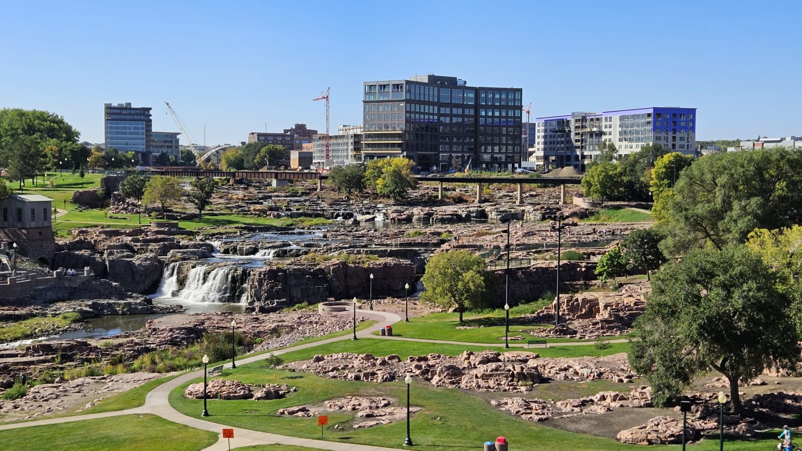
Sioux Falls & the Southeast
The falls of the Big Sioux over pink quartzite, Mitchell's Corn Palace, Yankton on the free-flowing Missouri, and Spirit Mound where Lewis and Clark climbed.
The southeast is the country the Ihanktonwan, the Yankton people, gave up in the treaty of 1858, some eleven million acres between the Big Sioux and the Missouri, keeping a reservation along the river around Wagner and Lake Andes. The Flandreau Santee Sioux Tribe, Dakota people who came west after the 1862 war in Minnesota, have held land on the Big Sioux at Flandreau since 1869.
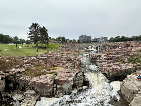
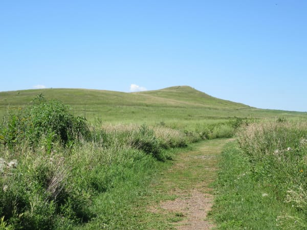
Sioux Falls grew around the falls of the Big Sioux River, where the water drops over ledges of pink Sioux quartzite, the same stone that built much of the old downtown. Yankton was the capital of Dakota Territory from 1861, and below Gavins Point Dam the Missouri runs free again for some sixty miles, sandbars and cottonwoods as Lewis and Clark saw them. North of Vermillion they climbed Spirit Mound in August 1804, a hill the Yankton, Omaha and Otoe said was guarded by little people with arrows; it is a prairie preserve now.
At Mitchell the Corn Palace is redecorated every year with murals made of corn, and on the edge of town people living in earth lodges farmed above a creek around a thousand years ago; the village is still being excavated.
What to See in Sioux Falls & the Southeast
5 places across the region, grouped by what they are.
Historic Sites

Towns & Gateways
Architecture

Scenic Drives through Sioux Falls & the Southeast
Stories from Sioux Falls & the Southeast
Sioux Falls & the Southeast rewards the unhurried. Pick a base, fan out, and let the country between the headline stops surprise you.
← Explore more of Open Road Guide