San Angelo & the Concho Valley
Fort Concho and San Angelo, Fort McKavett, Presidio de San Saba, Fort Lancaster on the San Antonio-El Paso road and the crystal formations of the Caverns of Sonora.
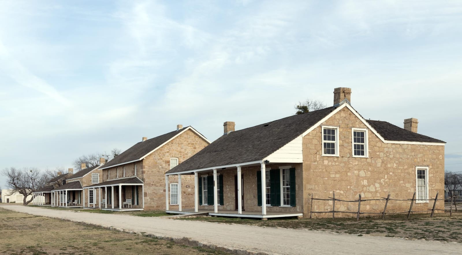
The North Concho joins the main Concho at San Angelo, and the army put Fort Concho at the junction in 1867. Its stone buildings still stand at the edge of downtown, and the town that grew up across the river to serve the soldiers became the city. Buffalo Soldiers of the Tenth Cavalry were stationed there, and Col. Benjamin Grierson made it his headquarters. Fort Concho National Historic Landmark is among the most complete frontier forts in Texas. The Concho River was known for its freshwater pearls, and San Angelo's river walk follows it through town.
Fort Concho was one link in a chain. To the southeast, Fort McKavett, built in 1852 above the San Saba, is a state historic site, and near Menard the Spanish built Presidio de San Saba in 1757 to guard a mission for the Lipan Apache. In March 1758 a force of Comanche, Wichita and allied nations destroyed the mission, and Spain never rebuilt it. To the west, Fort Lancaster guarded the San Antonio-El Paso road at Live Oak Creek above the Pecos from 1855.
South on Interstate 10, Sonora is ranching country for sheep and goats, and the Caverns of Sonora, open to visitors since 1960, are known for their delicate crystal formations. Ozona, the only town in Crockett County, and Sterling City sit at the region's edges.
What to See in San Angelo & the Concho Valley
10 places across the region, grouped by what they are.
Geology & Rock Formations
Natural Areas
Hikes & Trails
Historic Sites

Towns & Gateways
San Angelo & the Concho Valley rewards the unhurried. Pick a base, fan out, and let the country between the headline stops surprise you.
← Explore more of Open Road Guide