The Republican Valley & the Southwest
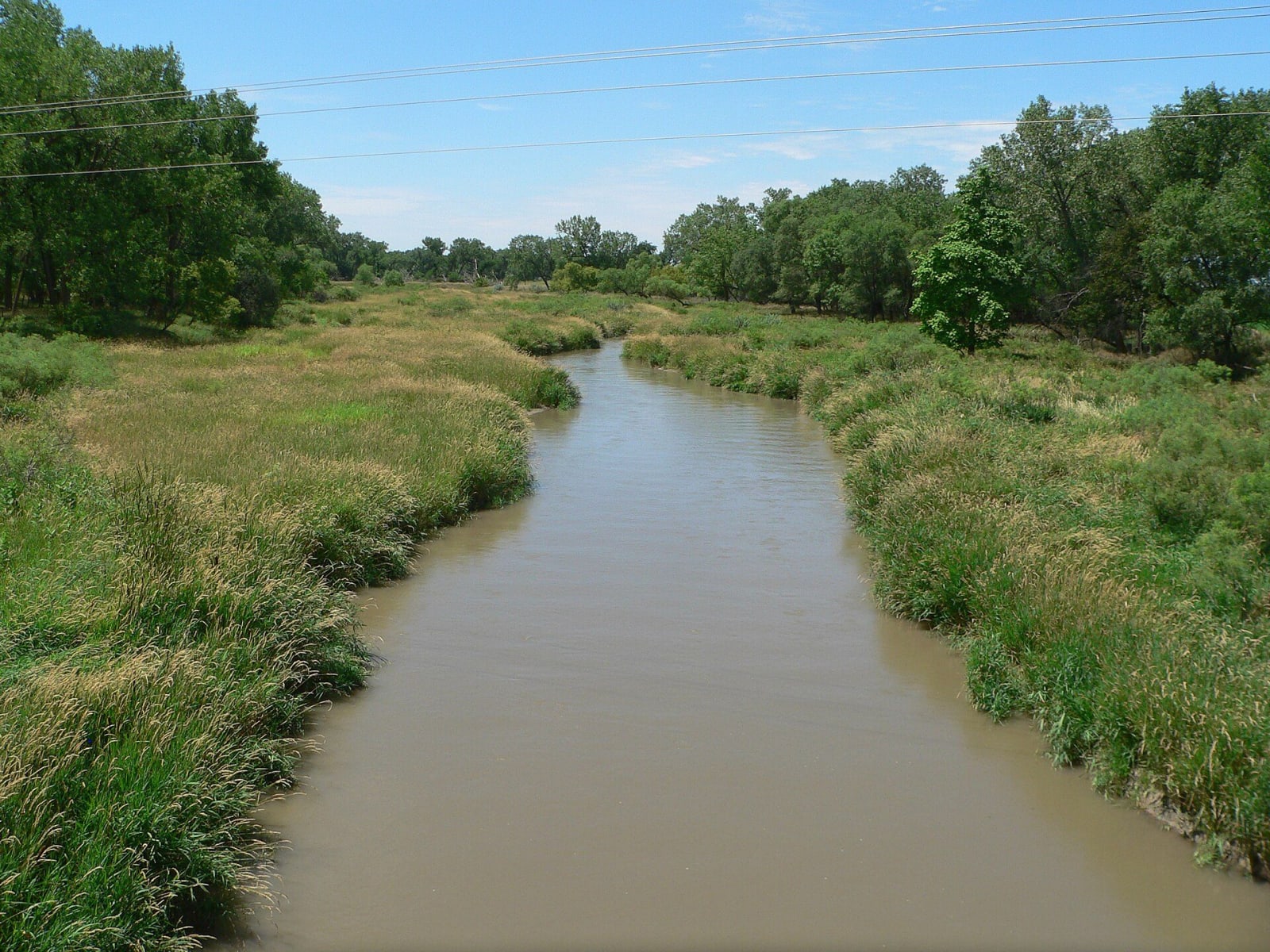
Massacre Canyon above the Republican, George Norris's McCook house, Harlan County Lake, and Willa Cather's Red Cloud with its unplowed prairie.
The Republican River comes out of Colorado in the far southwest corner and runs east never far from the Kansas line, with US-34 and then US-136 beside it. The river is named for the Kitkehahki, the Republican band of the Pawnee, whose villages stood along it. At one of them near Guide Rock, in September 1806, Zebulon Pike persuaded the Pawnee to lower a Spanish flag and raise an American one. On August 5, 1873, Oglala and Brulé Lakota attacked a Pawnee hunting camp in the canyon east of Trenton and killed at least 75 people, and within two years the Pawnee had been removed to Indian Territory.
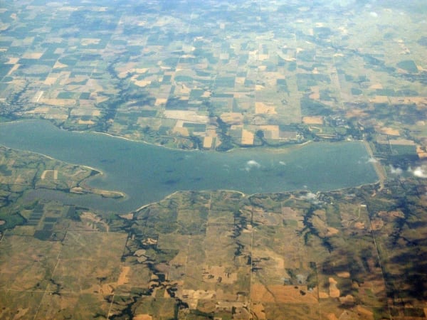
The western half is high, dry and thinly settled: Massacre Canyon, the dams at Trenton and Enders, and McCook, where George W. Norris kept his home for forty-two years while he wrote the lame-duck amendment and pushed Nebraska into its one-house legislature. Farther east, Harlan County Lake, the second largest in the state, was built after the flood of May 1935 ran bluff to bluff, killed more than ninety people and wiped out Republican City.
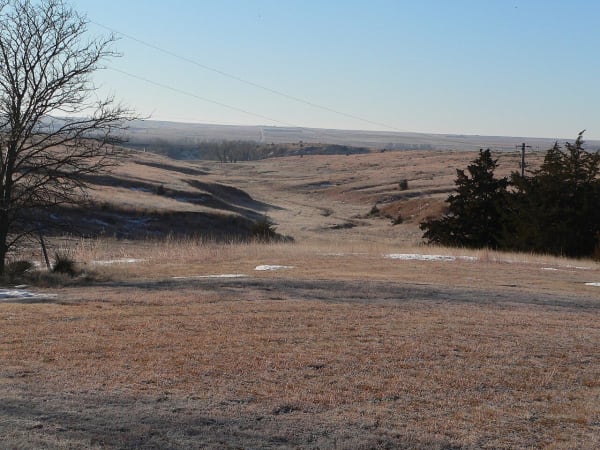
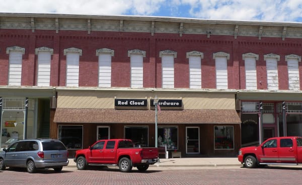
The east end belongs to Willa Cather. Red Cloud, where she grew up, has more historic sites tied to one author than any other American town, and five miles south lies a square of never-plowed prairie that carries her name.
What to See in The Republican Valley & the Southwest
6 places across the region, grouped by what they are.
Natural Areas

Hikes & Trails
Historic Sites

Towns & Gateways
Industry & Mining
Stories from The Republican Valley & the Southwest
The Republican Valley & the Southwest rewards the unhurried. Pick a base, fan out, and let the country between the headline stops surprise you.
← Explore more of Open Road Guide