
Monahans, Fort Stockton & the Pecos River
The Pecos River country: Comanche Springs and Historic Fort Stockton, Horsehead Crossing, the Monahans sandhills and Santa Rita No. 1, the well that opened the Permian Basin.
Between the oil towns and the mountains the Pecos River crosses a dry plain, a road and a barrier for every traveler. The Comanche Trail into Mexico came down across it to the great springs at Fort Stockton. The Butterfield mail and the Goodnight-Loving cattle drives of 1866 crossed it at Horsehead Crossing, a ford Charles Goodnight called the graveyard of the cowman's hopes. It is private land, told here without directions.
Every road west depended on Comanche Springs. The army built Fort Stockton there in 1859, and after the Civil War it was a post of the Ninth Cavalry, a regiment of Black troops. Irrigation pumping lowered the aquifer, and by March 1961 the springs had stopped flowing. Historic Fort Stockton keeps the guardhouse and officers' row.
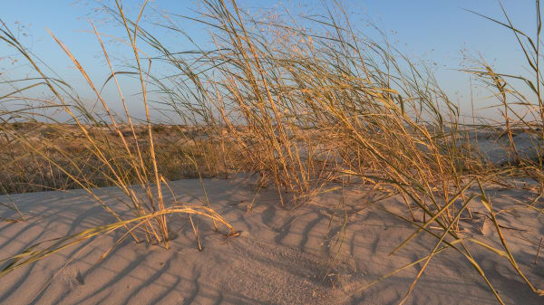
At Monahans, Pat Monahan dug a well in 1881 where the Texas and Pacific laid its tracks, and Monahans Sandhills State Park, opened in 1957, protects 3,840 acres of the dunes that stretch north into New Mexico. Visitors slide down them on rented sand disks.
On May 28, 1923, Santa Rita No. 1 came in on University of Texas land in Reagan County, proving the Permian Basin held oil, and its royalties still feed the Permanent University Fund. Iraan, Crane and McCamey followed, and Loving County, the least populous in the nation, sits on the Pecos.
What to See in Monahans, Fort Stockton & the Pecos River
9 places across the region, grouped by what they are.
Natural Areas
Historic Sites
Towns & Gateways

Industry & Mining
Roadside Stops
Monahans, Fort Stockton & the Pecos River rewards the unhurried. Pick a base, fan out, and let the country between the headline stops surprise you.
← Explore more of Open Road Guide