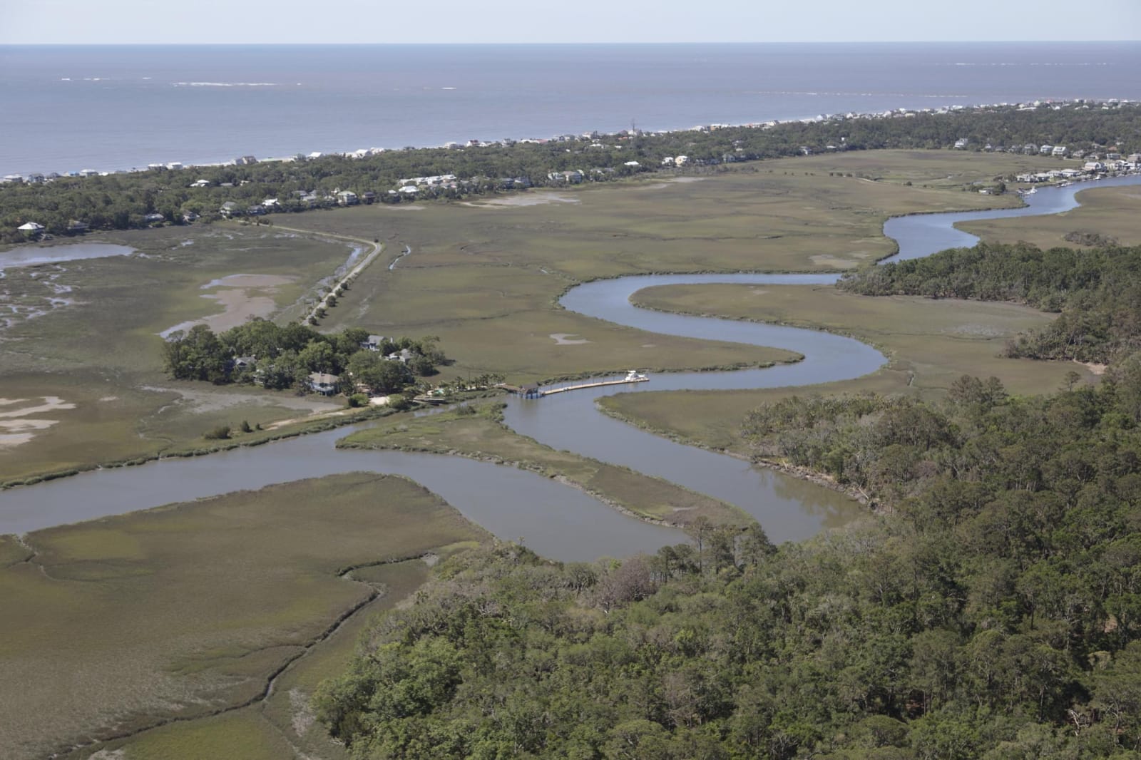
A tidal creek winding through green salt marsh and maritime forest on Edisto Island, with beach houses and the Atlantic beyond.
Carol M. Highsmith / public domain via Library of Congress
South Carolina · Region

Charleston & the Lowcountry

Charleston harbor, the Sea Island coast and the inland swamps: the Kiawah and Sewee, Gadsden's Wharf, Stono, Mother Emanuel, Fort Sumter and Beidler Forest.

12 places to explore

Before Charleston, this coast belonged to the Kiawah, Stono, Edisto, Sewee, Etiwan and Kussoe nations. People here heaped up the Sewee Shell Ring and the Spanish Mount midden four thousand years ago. In 1670 the Kiawah led the English to Albemarle Point, and within fifteen years small wars and deeds had taken most of the land while Charles Town's traders bought Native captives as slaves. The Edisto Natchez-Kusso Tribe carries those names on at Ridgeville.

The colony soon had a Black majority. Enslaved Africans were held in quarantine on Sullivan's Island and landed by the tens of thousands at Gadsden's Wharf. They carved rice fields from the swamp at Caw Caw, rose at Stono in 1739, dug the Santee Canal, grew cotton at McLeod and hid in Four Holes Swamp. Mother Emanuel's congregation, founded in 1818, outlasted Denmark Vesey's hanging, decades of worship in secret and the killing of nine of its people in 2015.

South Carolina left the Union to protect slavery, and the war began in April 1861 at Fort Sumter, across the harbor mouth from Fort Moultrie. Inland, the tabby fort at Dorchester and the thousand-year-old cypress of Beidler Forest repay the drive, and Edisto's old Civilian Conservation Corps beach park waits at the end of the road.

What to See in Charleston & the Lowcountry

12 places across the region, grouped by what they are.

Natural Areas
Edisto Beach State Park

Edisto Beach

A Civilian Conservation Corps beach park at the tip of Edisto Island, with a 4,000-year-old shell midden at the end of the Spanish Mount Trail.

View details →
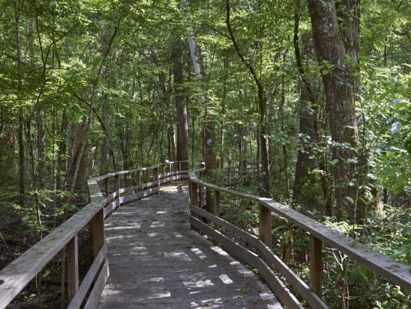
A weathered wooden boardwalk with railings curving into a dense green swamp forest.

Francis Beidler Forest

Harleyville

Audubon's sanctuary in Four Holes Swamp near Harleyville: the largest original-growth cypress-tupelo swamp left on Earth, and a refuge for people escaping slavery.

View details →

Historic Sites

Caw Caw Interpretive Center

Ravenel

Old rice fields carved from cypress swamp by enslaved Africans near Ravenel, tied to the 1739 Stono Rebellion, now crossed by trails and boardwalks.

View details →

Charles Towne Landing State Historic Site

Charleston

The marshy point on the Ashley River where English colonists and enslaved Africans landed in 1670, in the country of the Kiawah.

View details →

Colonial Dorchester State Historic Site

Summerville

The vanished Ashley River village of 1697 near Summerville, in former Kussoe country, with a tabby fort, a church bell tower and wharf timbers at low tide.

View details →
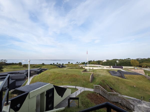
Grassy earthworks, concrete batteries and a flagpole inside Fort Moultrie, with Charleston harbor beyond.

Fort Moultrie

Sullivan's Island

The Sullivan's Island fort restored through two centuries of harbor defense, on the island where enslaved Africans were held in quarantine before Charleston's markets.

View details →
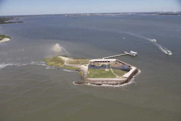
The low, five-sided walls of Fort Sumter on its island at the mouth of Charleston harbor, seen from the air, with a ferry at its dock.

Fort Sumter

Charleston

The unfinished harbor fort where Confederate guns opened the Civil War on April 12, 1861, reached by ferry from the Liberty Square visitor center.

View details →

McLeod Plantation Historic Site

Charleston

A James Island Sea Island cotton plantation told through the 74 people enslaved there in 1860 and the freed Gullah families who lived in its cabins until 1990.

View details →

Mother Emanuel AME Church

Charleston

The Calhoun Street church of a congregation founded in 1818, where nine people were killed at Bible study on June 17, 2015.

View details →

Old Santee Canal Park

Moncks Corner

The surviving end of the 1800 Santee Canal at Moncks Corner, dug by enslaved and Black laborers, with boardwalks through Biggin Creek swamp.

View details →

Sewee Shell Ring

Awendaw

A ring of oyster shell piled up about 4,000 years ago on the marsh edge near Awendaw, reached by a one-mile trail in the Francis Marion National Forest.

View details →

Towns & Gateways

International African American Museum

Charleston

The museum raised on columns over Gadsden's Wharf, where tens of thousands of enslaved Africans were landed, with a tidal memorial garden open at all hours.

View details →

Scenic Drives through Charleston & the Lowcountry

Scenic Byway

US 17 and US 21: Charleston to Beaufort and St. Helena Island

About 86 miles through the Lowcountry, from Charles Towne Landing and McLeod Plantation down US 17, the Savannah Highway, past Caw Caw and across the ACE Basin and the Combahee, by Old Sheldon Church to Beaufort, and over to Penn Center on St. Helena Island.

86 mi · 2.3 hrs

Charleston & the Lowcountry rewards the unhurried. Pick a base, fan out, and let the country between the headline stops surprise you.

← Explore more of Open Road Guide