Home / South Carolina / Charleston & the Lowcountry / Francis Beidler Forest
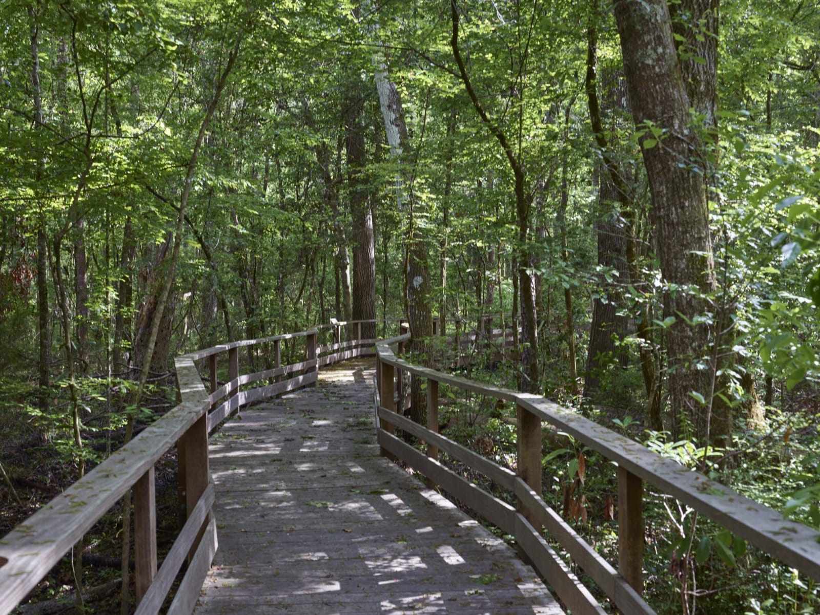
A weathered wooden boardwalk with railings curving into a dense green swamp forest.Carol M. Highsmith / public domain via Library of Congress
🌲Natural

Francis Beidler Forest

Part ofCharleston & the Lowcountry

Audubon's sanctuary in Four Holes Swamp near Harleyville: the largest original-growth cypress-tupelo swamp left on Earth, and a refuge for people escaping slavery.

⏱
Duration
Two to three hours.
🎟
Admission
Adults 13 and up $12, children 6-12 $7, 5 and under free; free on the second Saturday of each month (Audubon, 2026).
📅
Best Season
Spring for nesting warblers and fall for cooler days; the boardwalk is good year round. Closed Thanksgiving, Christmas Eve, Christmas Day and New Year's Day (Audubon, 2026).

The Story

Four Holes Swamp is a blackwater swamp that rises in Calhoun County and runs sixty-two miles south to the Edisto River. Its watershed takes in part of the tribal lands of the Edisto Natchez-Kusso, the state-recognized tribe based at Ridgeville. The sanctuary named for Francis Beidler now protects about 18,300 acres of it across Dorchester, Berkeley and Orangeburg counties, including the largest stand of original-growth cypress and tupelo swamp left anywhere, with trees more than a thousand years old.

The swamp's maze of water and trees also sheltered people escaping slavery. Before the Civil War enslaved people from the surrounding plantations hid here, and some went on to escape to the North. One was James Matthews, born on a plantation near the swamp, who took refuge in it before getting away; researchers have identified him as the anonymous author of Recollections of Slavery by a Runaway Slave. Four Holes Swamp is now part of the National Park Service's Network to Freedom, and six signs placed along the boardwalk in 2023 tell what is known of the freedom seekers.

The 1.75-mile boardwalk, the longest continuous boardwalk in South Carolina, is level, accessible and wide enough for strollers, and most people take one and a half to two hours on it. Watch for prothonotary warblers, barred owls, river otters and turtles. Grassland and woodland trails beside the center are open dawn to dusk. The center is reached by a mile of gravel road, and pets are not allowed.

Visitor Info

⏱
Time Needed
Two to three hours.
🎟
Admission
Adults 13 and up $12, children 6-12 $7, 5 and under free; free on the second Saturday of each month (Audubon, 2026).
📅
Best Season
Spring for nesting warblers and fall for cooler days; the boardwalk is good year round. Closed Thanksgiving, Christmas Eve, Christmas Day and New Year's Day (Audubon, 2026).
🛣️
Highway
I-26 (Harleyville)

On the Map

Nearby

The closest stops worth working into your route

historical21 mi away
Colonial Dorchester State Historic Site
The vanished Ashley River village of 1697 near Summerville, in former Kussoe country, with a tabby fort, a church bell tower and wharf timbers at low tide.
historical22 mi away
Old Santee Canal Park
The surviving end of the 1800 Santee Canal at Moncks Corner, dug by enslaved and Black laborers, with boardwalks through Biggin Creek swamp.
historical22 mi away
Santee Indian Mound and Fort Watson
A Mississippian ceremonial mound above Lake Marion, later the stockade the British called Fort Watson, taken by Francis Marion and Henry Lee in 1781.
recreational24 mi away
Santee State Park
A 1942 state park on the western shore of Lake Marion, the reservoir that drowned the Santee swamp, with cypress standing in open water and limestone sinkholes on shore.
historical26 mi away
Liberty Hill AME Church
The Clarendon County church where parents met to plan Briggs v. Elliott, the first of the five cases decided as Brown v. Board of Education.
historical31 mi away
Caw Caw Interpretive Center
Old rice fields carved from cypress swamp by enslaved Africans near Ravenel, tied to the 1739 Stono Rebellion, now crossed by trails and boardwalks.

Historical markers nearby

Roadside plaques and monuments within a short detour

Marker4.9 mi away
Dorchester Cemetery
Dorchester
Marker5.4 mi away
Four Holes Swamp Bridge
Dorchester
Marker7.5 mi away
St. Paul Camp Ground
Harleyville vicinity
Marker9.4 mi away
Cypress Methodist Camp Ground
Ridgeville vicinity
Marker11 mi away
Four Holes Indian Community
Ridgeville vicinity
Marker11 mi away
Four Holes Public School
Ridgeville vicnity