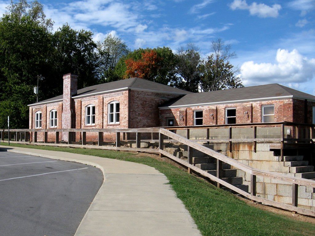
 twbuckner / CC BY 2.0 via Flickr
The Story
At Roanoke Rapids the river drops over the fall line in a run of rapids that no loaded boat could pass. After the Revolution, planners dreamed of a water route from the Blue Ridge to the Atlantic along the Roanoke, and the Roanoke Navigation company set out to get boats around the falls. The canal, finished around 1823, runs about seven miles from above the rapids down to the river at Weldon. Its early sections were laid out under the civil engineer Hamilton Fulton, and its stone aqueduct of 1821 to 1823 and its lift locks still stand.
Railroads soon took the traffic, and the canal found a second life. New owners bought it in 1882 and turned its water into power, and by 1900 two powerhouses were running along it. Competition from a newer power canal and the need for bigger hydroelectric plants closed it for good in 1912. The remains were listed on the National Register in 1976, and the trail along the old towpath has since been recognized in the National Underground Railroad Network to Freedom for the river's role as an escape route.
The museum sits where the trail crosses Roanoke Avenue in Roanoke Rapids, with exhibits on the valley, the engineering of the canal and its years as a power source. From there the towpath runs 7.2 miles between Roanoke Rapids Lake at the western trailhead and River Falls Park in Weldon, past the aqueduct and the lock walls.
Visitor Info
On the Map
Nearby
The closest stops worth working into your route
Historical markers nearby
Roadside plaques and monuments within a short detour