 Carol M. Highsmith / public domain via Library of Congress
The Story
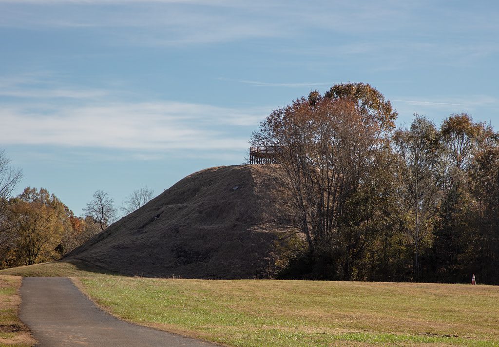
Pinson Mounds is the largest group of Middle Woodland mounds in the United States, built on a plateau above the South Fork of the Forked Deer River. Most of the earthworks probably date from about 100 to 300 CE, some two thousand years ago. Sauls Mound, at 72 feet, is the second tallest mound in the country. Ozier Mound, about 33 feet high, was raised in at least six stages, and its excavation in 1981 gave the first firm evidence that flat-topped platform mounds were being built in eastern North America centuries earlier than anyone had assumed.
This was a gathering place, not a village. Pottery from the Tennessee River valley, southern Georgia and Mobile Bay turned up at one ritual area, which shows that people came from hundreds of miles away. A geometric earthen enclosure echoes earthworks in the Ohio Valley. Few of the mounds were built for burial. The largest of those, the Twin Mounds, is a burial place, and it is treated as one.
The surveyor Joel Pinson gave the site his name in 1820, after the Chickasaw lost West Tennessee in the treaty of 1818, and in 1916 the Smithsonian sent William Myer to map it. The state bought the land in 1965. Today it is a state archaeological park and a National Historic Landmark, with a museum, a gift shop and paved trails. A viewing platform stands on top of Sauls Mound.
Visitor Info
On the Map
Nearby
The closest stops worth working into your route
Historical markers nearby
Roadside plaques and monuments within a short detour