Home / Texas / Fredericksburg, Kerrville & the Hill Country / Lost Maples State Natural Area
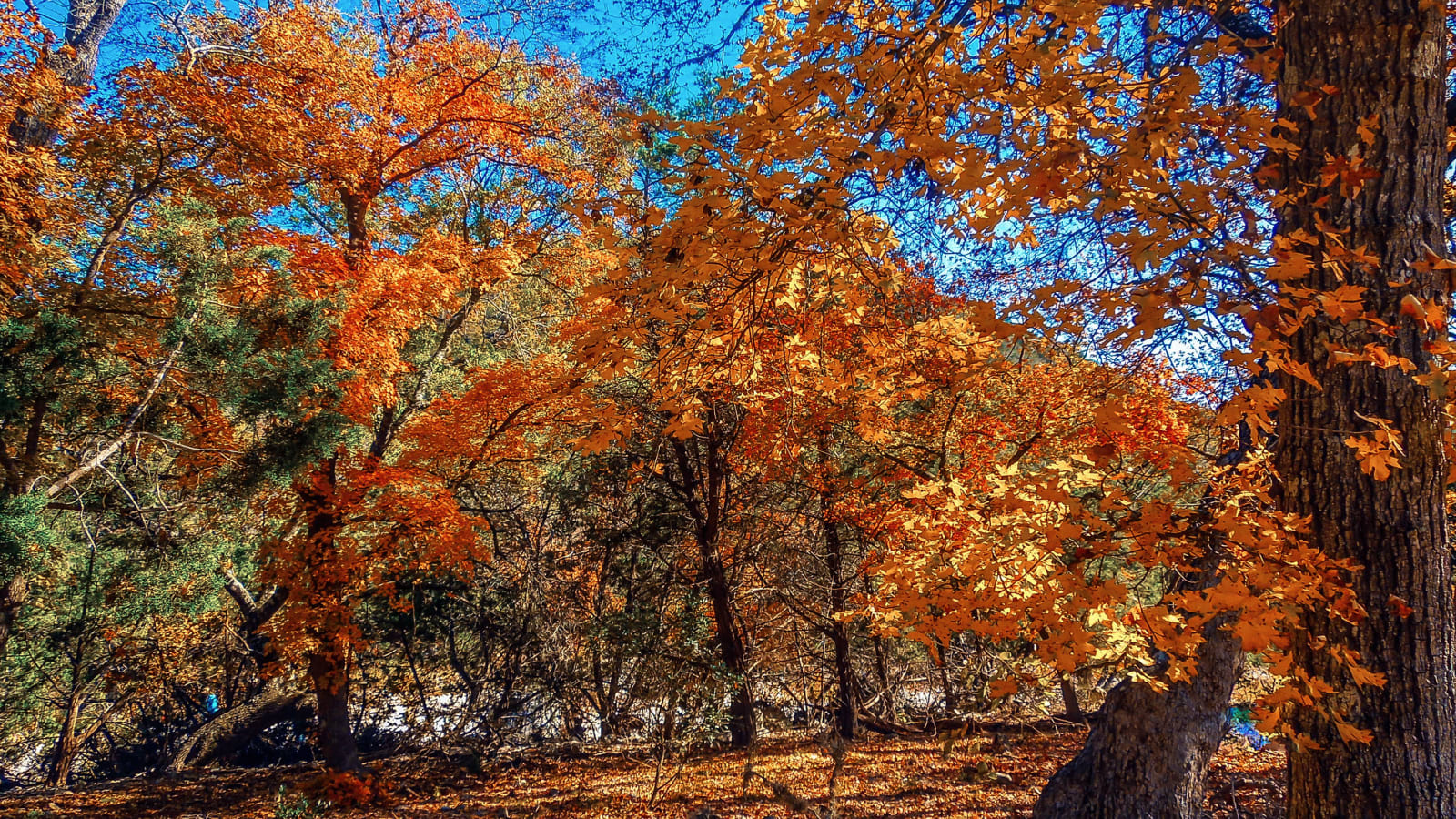
Bigtooth maples in orange and gold fall color beneath a blue sky at Lost Maples State Natural Area.G. Yancy / CC BY 2.0 via Flickr
🌲Natural

Lost Maples State Natural Area

Part ofFredericksburg, Kerrville & the Hill Country

A canyon of the upper Sabinal where a relict stand of bigtooth maples turns color each autumn, a sight that drew crowds up a gravel road long before there was a park.

⏱
Duration
A half day to a full day.
🎟
Admission
State park entrance fee.
📅
Best Season
October and November for the maples; spring for wildflowers and warblers.

The Story

High canyon walls along the upper Sabinal River have made this corner of Bandera and Real counties a refuge for plants and animals for thousands of years. Its fame is a relict stand of bigtooth maples, left behind in these sheltered canyons, whose leaves turn in October and November. How bright they are depends on the year's weather, and the park posts a fall foliage report from mid-October. Sightseers crowded the old gravel road up the canyon to see the color long before there was a park.

Texas Parks and Wildlife bought the 2,208 acres from private owners in 1973 and 1974, and in 1980 the area was made a National Natural Landmark. It shelters more than 350 plant species, many rare on the Edwards Plateau, and birds such as the endangered golden-cheeked warbler and the green kingfisher. Apache, Lipan Apache and Comanche people ranged over this country before ranching came.

More than ten miles of trails include a loop along the top of a high cliff. The maples have shallow roots, so visitors keep to the trails and off the rocks and slopes. There are 30 campsites with water and electricity and primitive sites for backpackers. There is no cell phone service.

Visitor Info

⏱
Time Needed
A half day to a full day.
🎟
Admission
State park entrance fee.
📅
Best Season
October and November for the maples; spring for wildflowers and warblers.
🛣️
Highway
RR 187

On the Map

Nearby

The closest stops worth working into your route

historical12 mi away
Real County Historical Museum
A small county museum in Leakey, at the head of the Frio Canyon, with a log-cabin parlor, an 1880s horse-drawn hearse, a wool and mohair shearing machine and 1910s jail cells.
recreational18 mi away
Garner State Park
The Frio River park that Uvalde County built with the Civilian Conservation Corps and named for its own vice president, where people have danced on the stone pavilion every summer since the 1940s.
historical31 mi away
Schreiner Mansion
The 1879 downtown home of Charles Schreiner, the Alsatian-born merchant, banker and rancher whose store and mohair trade built Kerrville.
historical32 mi away
Frontier Times Museum
A museum built of fossils, petrified wood and cave formations in Bandera, holding a printer-historian's collection of frontier relics and oddities.
geological40 mi away
Devil's Sinkhole State Natural Area
A 140-foot shaft into a cavern outside Rocksprings, seen only on guided tours from a platform at the rim as some three million bats spiral out on summer evenings.
historical42 mi away
Treue der Union Monument
An 1866 German-language monument in Comfort over the graves of Hill Country Unionists killed at the Nueces in 1862, its flag of thirty-six stars kept at half-staff.

Historical markers nearby

Roadside plaques and monuments within a short detour

Marker5.5 mi away
Cypress Creek Cemetery
Leakey
Marker12 mi away
Site of Old Taylor School
Vanderpool
Marker12 mi away
Leakey School
Leakey
Marker12 mi away
Real County
Leakey
Marker12 mi away
John Leakey
Leakey
Marker12 mi away
Real County
Leakey