 Carol M. Highsmith / public domain via the Library of Congress
The Story
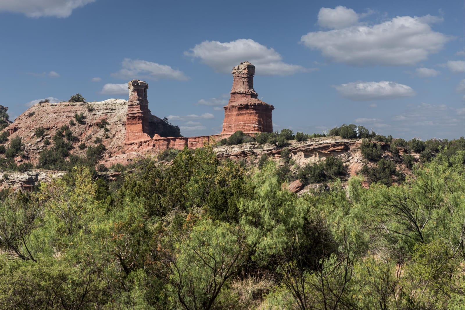
The Lighthouse is the shape most people picture when they think of Palo Duro: a tall column of rock with a wider cap, standing out from the canyon wall like a beacon. It is a hoodoo, a form the canyon makes again and again. A layer of hard sandstone protects the softer rock beneath it while rain and wind strip away everything around, until a pillar is left with its hat still on.
The trail reads the canyon's layers from the bottom up. The floor and lower slopes are the Quartermaster Formation, red siltstone and shale with white veins of gypsum, laid down in a shallow sea and tidal flats in the Permian, about 250 million years ago. Above it the Tecovas Formation, Triassic shale in lavender, gray and orange, holds the bones of phytosaurs and amphibians. The cap of the Lighthouse is Trujillo sandstone, coarse river sand that weathers into ledges and boulders. At the very top of the canyon walls lies the much younger Ogallala, the gravels that hold the High Plains aquifer. The geologist Charles N. Gould mapped and named these formations in 1905.
The trail is 2.8 miles each way, rated moderate by the park, and open to hikers and mountain bikers. There is little shade. The park warns that most of its heat-related injuries and deaths, of people and of pets, happen on this trail. Carry more water than seems sensible, start early in summer, and check whether the trail has closed after rain.
Visitor Info
On the Map
Nearby
The closest stops worth working into your route
Historical markers nearby
Roadside plaques and monuments within a short detour